India’s High-Speed Bullet Rail Project is a groundbreaking endeavor that promises to revolutionize the country’s transportation system. This ambitious project aims to provide a fast
Desertification, the process of land degradation in arid and semi-arid regions, is a pressing environmental issue that affects millions of people worldwide. In Africa,
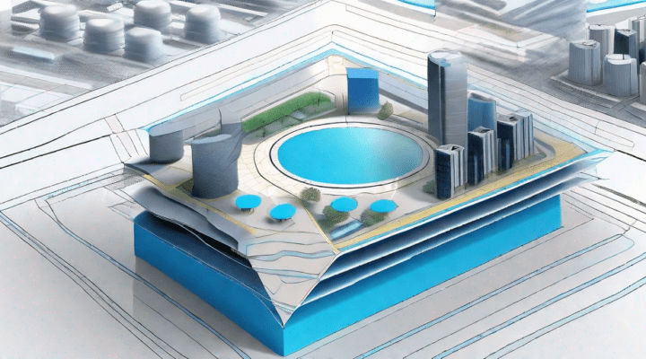
In a rapidly evolving world, Geographic Information System (GIS) solutions are playing an increasingly vital role in both public and private sectors. These innovative tools
Imagine a world where we can effortlessly monitor the health of our planet’s vegetation from above. With the advent of drone technology, this vision is
The world of engineering continues to evolve at an astonishing pace, with new advances and technologies constantly emerging. One such development that has revolutionized the
Drones have revolutionized various industries, and one area where they have made a significant impact is in measuring volumetric data. With their ability to capture
In today’s rapidly evolving technological landscape, drones and LiDAR (Light Detection and Ranging) are revolutionizing the field of land surveying. These innovative tools have transformed
Drone-based mapping has revolutionized the way we survey and map our world. The ability to capture high-resolution aerial images with ease and precision has opened
In today’s world, transportation plays a crucial role in shaping the landscape of our cities and communities. From improving mobility to reducing traffic congestion, efficient
Open Source GIS vs Commercial GIS
Please provide us with your details to download the free eBook.
By clicking “Submit”, I agree to GIS People’s Privacy Policy.