GIS technology helps governments to improve citizen services by providing a location-based platform for delivering information and services. By leveraging GIS technology, governments can provide citizens with accurate and up-to-date information on a range of topics, such as public services, zoning regulations, and emergency response.
GIS technology also enables governments to deliver personalized services based on a citizen’s location, ensuring that citizens receive the services they need quickly and efficiently.
Enhance decision-making processes
GIS technology provides governments with critical insights into complex issues, enabling them to make informed decisions.
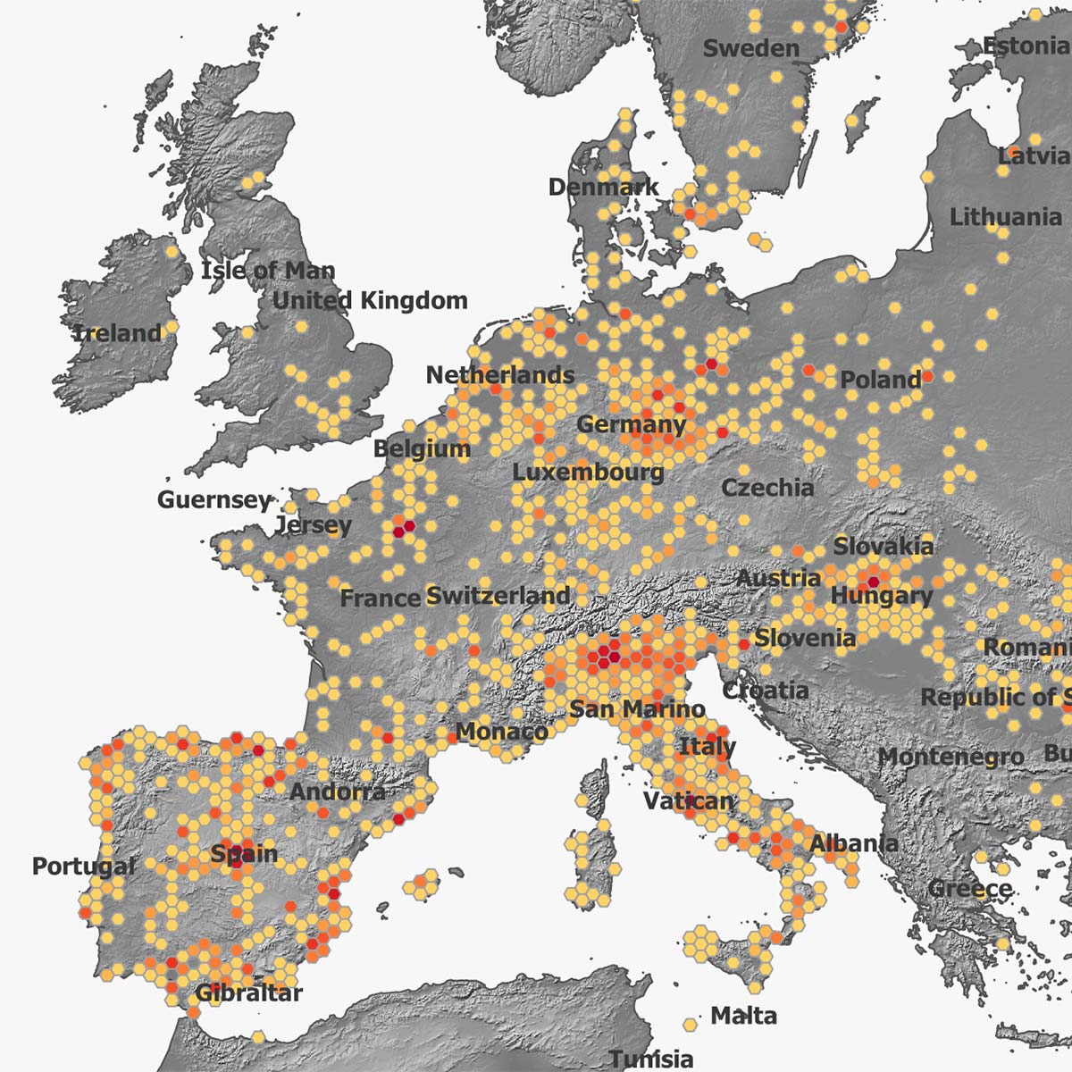
Governments can use GIS technology to analyze data from multiple sources, such as demographic data, environmental data, and infrastructure data, to gain a comprehensive understanding of complex issues. This understanding enables governments to make data-driven decisions that have a positive impact on their citizens.
Strengthen security and disaster response
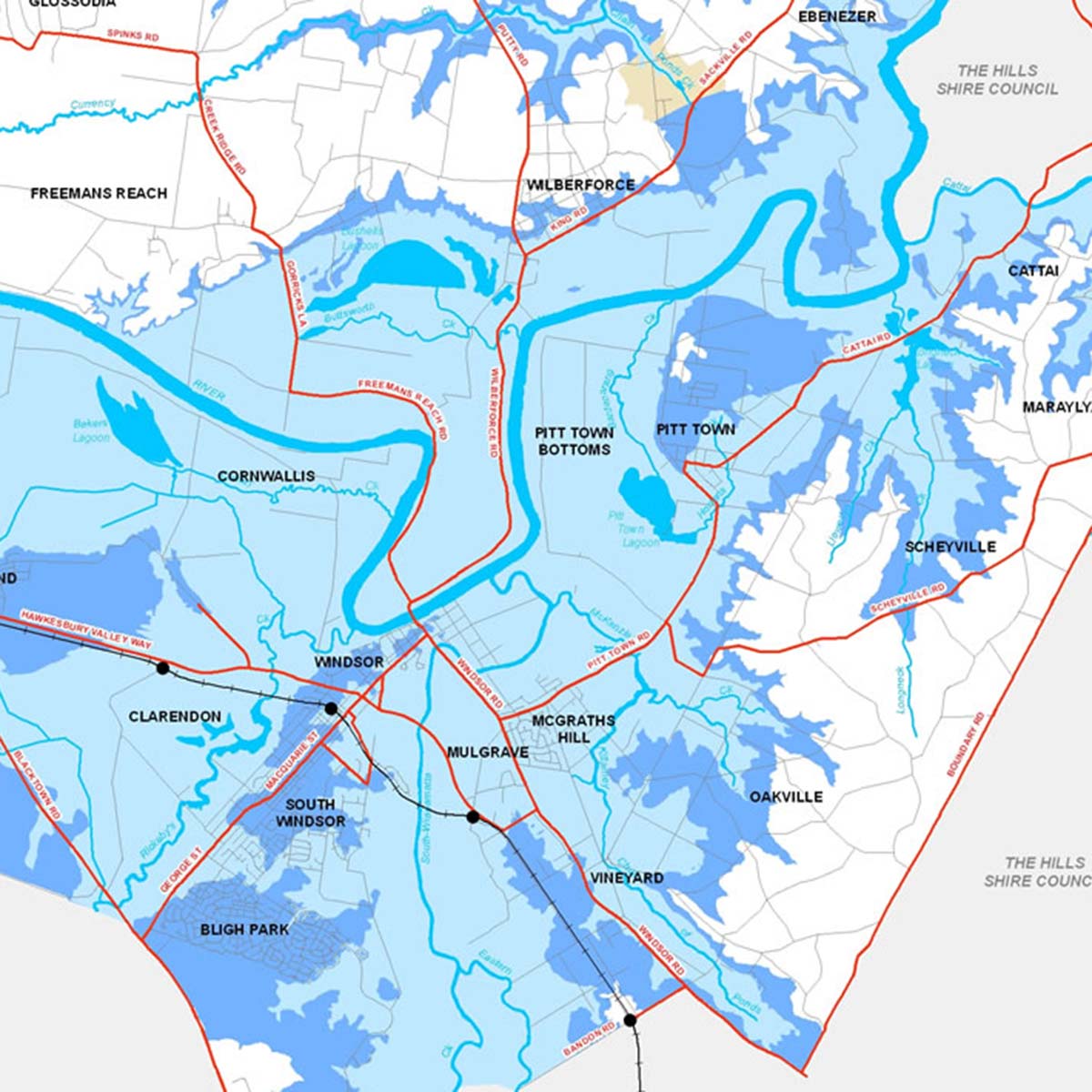
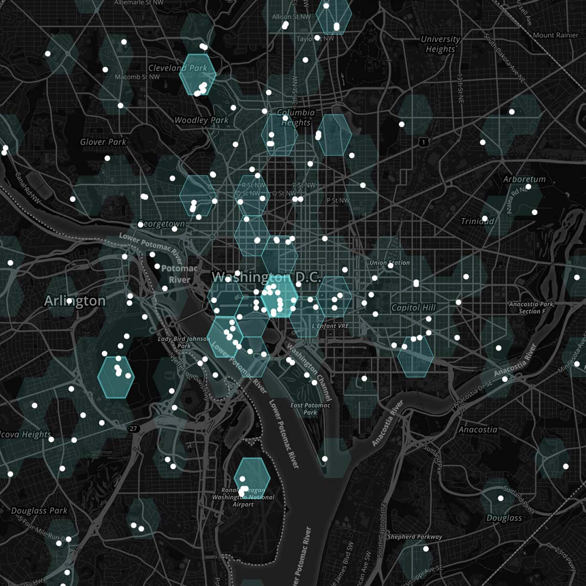
GIS technology helps governments to strengthen security and disaster response capabilities. By using GIS technology, governments can gather and analyze data from multiple sources, such as traffic patterns, social media, and weather data, to identify potential threats and respond quickly to emergencies.
GIS technology also enables governments to conduct simulations to test their disaster response plans, ensuring that they are prepared to act in the event of an emergency.
Better manage transportation networks
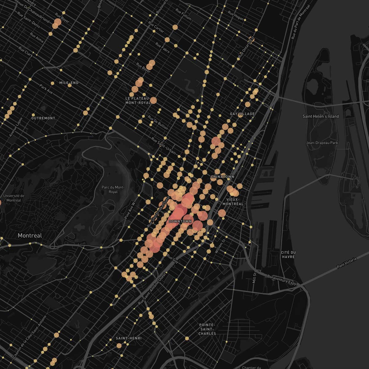
GIS can be used to plan and manage transportation networks, including roads, highways, and public transportation systems. By analyzing traffic patterns and travel times, officials can identify areas where improvements are needed and plan new transportation infrastructure accordingly.