GIS provides an effective way to gather, store, analyse and present this real-world spatial data.
GIS: locate with precision
GIS, or Geographic Information Systems, is a technology that has become a part of our daily lives. When we use map software on our phones to find our way to a coffee shop, we are actually using GIS at a basic level. GIS is much more than that though. It helps people make informed decisions by mapping any feature such as buildings, trees, railway lines, proposed shopping centers, national park boundaries, and more.
With GIS, you can record, analyze, and visualize the size and location of these features, as well as their changes over time. It is a powerful tool that helps people understand patterns, gain insights and make better decisions.
With GIS, you can analyse topographic, environmental, demographic and land use data to help you with your business decisions and project management. See below for some example applications.
Site Selection
GIS for selecting a site to place a new feature in the landscape can be extremely useful. For example, a local council wanting to find the best location to site a new hospital can use geospatial analysis to identify which location is the best.
Weed & Pest Management
Invasive weeds and pests can lead to massive economic costs. GIS is used to determine the areas infested by mapping in the field (recording perimeters of infested areas or recording individual points/sightings) or using satellite imagery/remote sensing.
Animal Habitat Mapping
An environmental organisation wanting to find, map and assess all potential animal habitat areas can use tools such as ground mapping, aerial imagery and remote sensing techniques to identify forest with value as a habitat.
Flood Risk Mapping
A local government needing to map flood risk areas can use a combination of historical flooding data and modelling techniques to produce a map showing all waterways and the potential flooding levels in the surrounding area.
Change Detection
Changes in a particular area or feature over time can be measured. For example, land use change can be monitored using remote sensing technology to identify increases and decreases in vegetation cover, waterways and urban areas.
Transport Route Planning
If a transport department is planning a new railway route, by adding topographical, environmental and housing data to a GIS, they can immediately visualise and analyse the best path based on a number of criteria.
How to get started with GIS?
There are a variety of GIS software options available, both commercial and open source. As a trusted vendor-independent solution integrator, GIS People can guide you in selecting the best-fit option for your needs. We prioritize solutions that are fit-for-purpose and will help you achieve your goals efficiently and effectively. Let us help you get started with GIS and unlock the power of location intelligence for your organization.
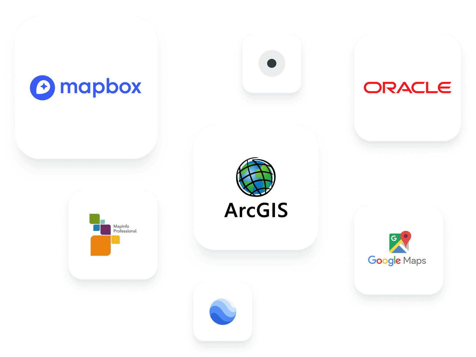
Commercial GIS Software
Commercial software, such as Esri’s ArcGIS, MapInfo Professional and Oracle Spatial, is widely used across industry and governments for GIS applications. These programs have a large user base, due to the powerful analytic tools they provide.
Google Earth and Google Maps are used more widely by the general public as well as in industry. These are valuable, easy-to-use tools that get everyone involved with maps.
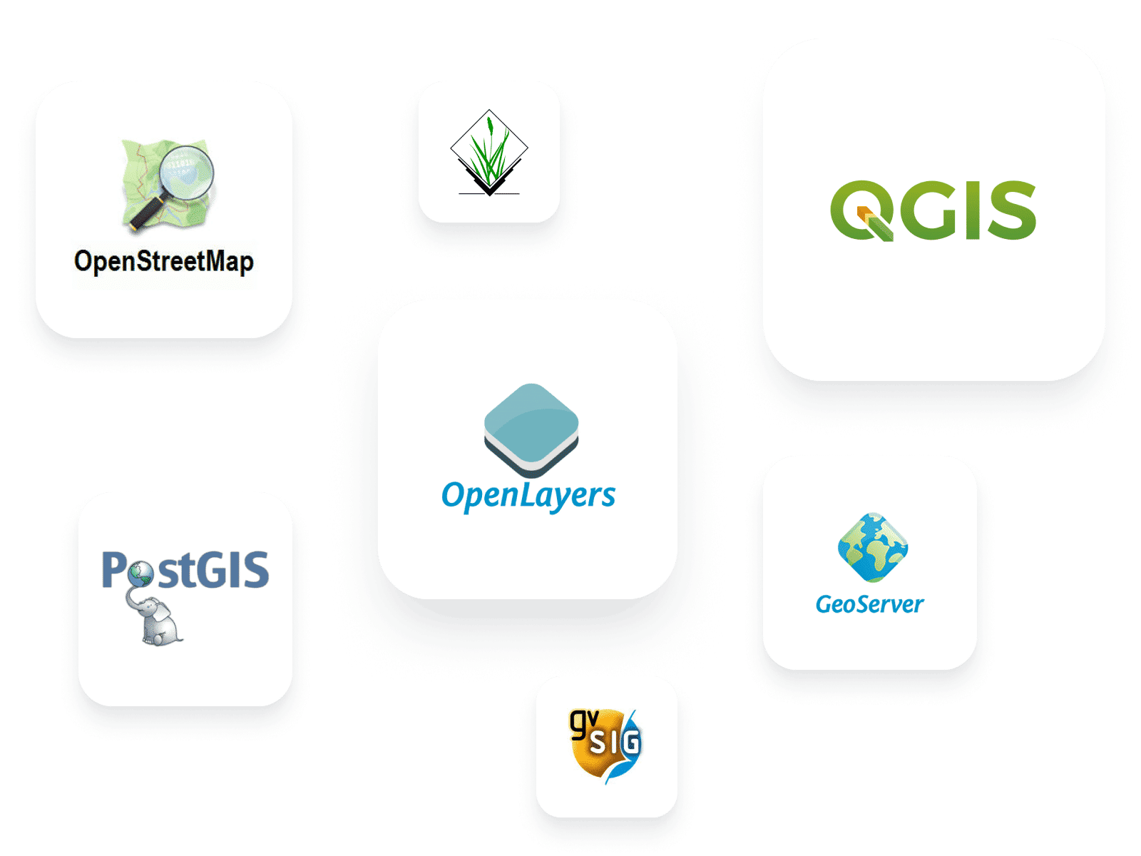
Open Source GIS Software
The field of open source GIS software is fast expanding, with software such as PostGIS, QGIS, GeoServer, OpenLayers and OpenStreetMap now available. Open source software is freely available to all, often useable across different platforms, and uses volunteer developers who contribute time and effort to regularly release updates and bug fixes.
Providing data and tools that can be used without restrictions means that this kind of software is becoming increasingly popular among government, charities and the general public.
Open Source GIS vs Commercial GIS
Please provide us with your details to download the free eBook.
By clicking “Submit”, I agree to GIS People’s Privacy Policy.