Type and hit enter


Type and hit enter
GIS People’s terrestrial lidar scanning provides precise 3D geometry of objects and environments for urban planning, construction, and asset management applications. Clients can reduce costs and gain a competitive edge with our accurate and detailed point clouds. Our team of experts ensures the collected data is reliable and of high quality.
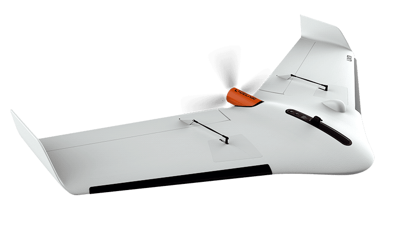
Our aerial data collection service captures high-resolution imagery and elevation data for accurate topographic maps, orthomosaics, and digital surface models. Clients in agriculture, mining, and infrastructure planning can improve their workflow with our comprehensive data. Our experienced team operates drones with high precision, providing reliable data.
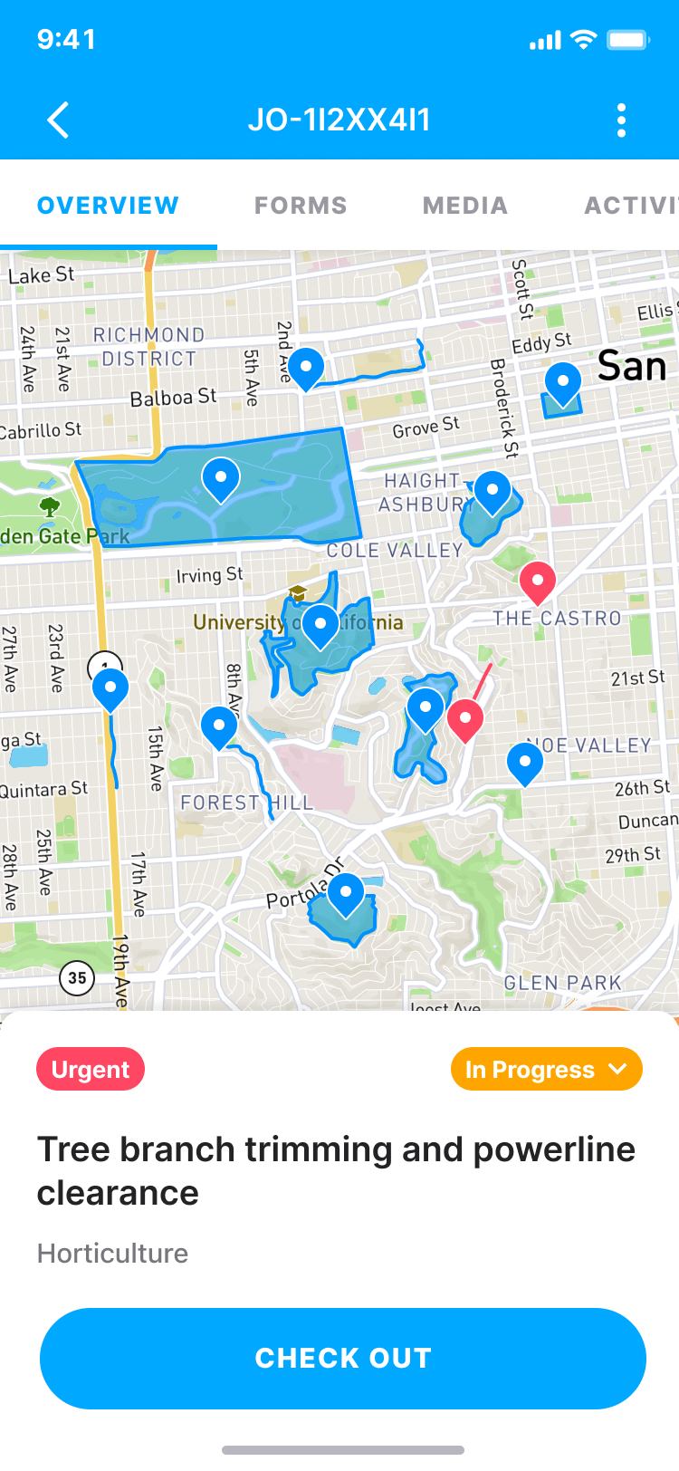
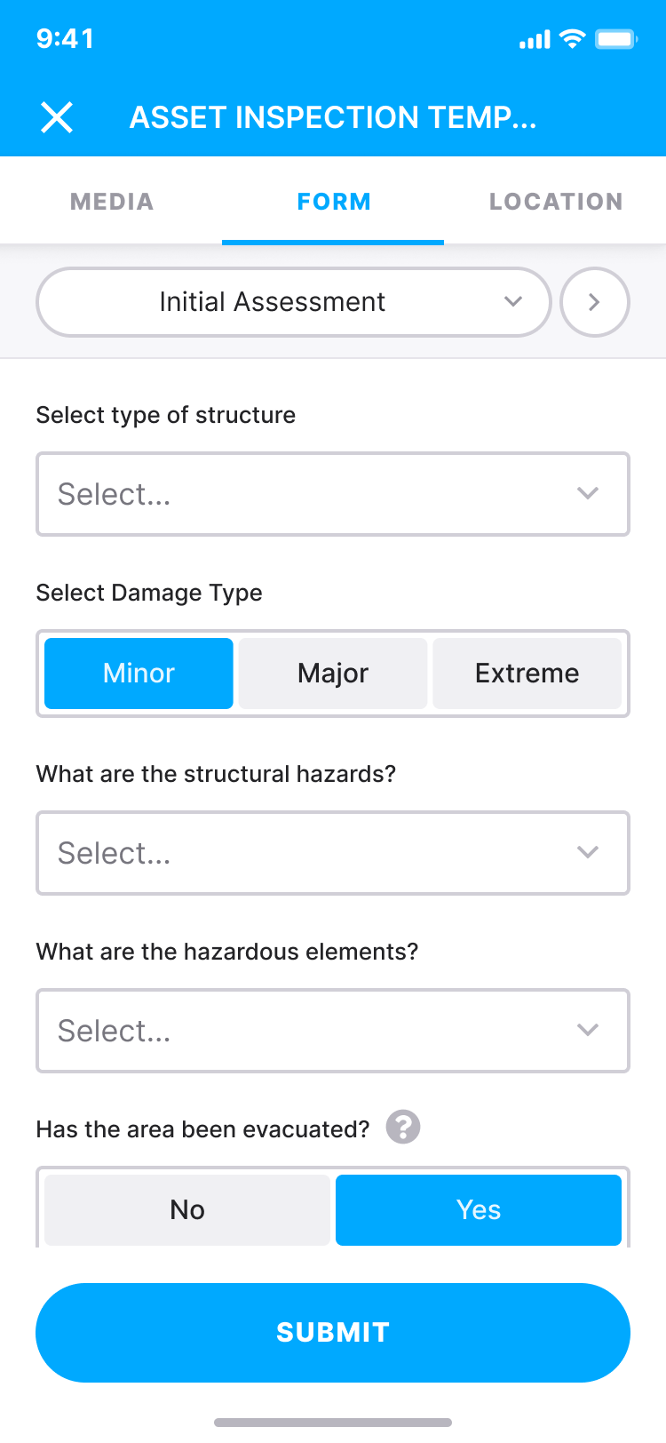
Collecting data using mobile devices such as phones and tablets is a convenient and efficient way to gather information in the field. With the ability to take photographs, fill in electronic forms, and automatically pair data with GPS locations, user details, and date/time stamp, this method provides accurate and comprehensive data for various applications, including environmental surveys, asset management, and field inspections.
Please provide us with your details to download the free eBook.
By clicking “Submit”, I agree to GIS People’s Privacy Policy.
Adding {{itemName}} to cart
Added {{itemName}} to cart