Type and hit enter


Type and hit enter
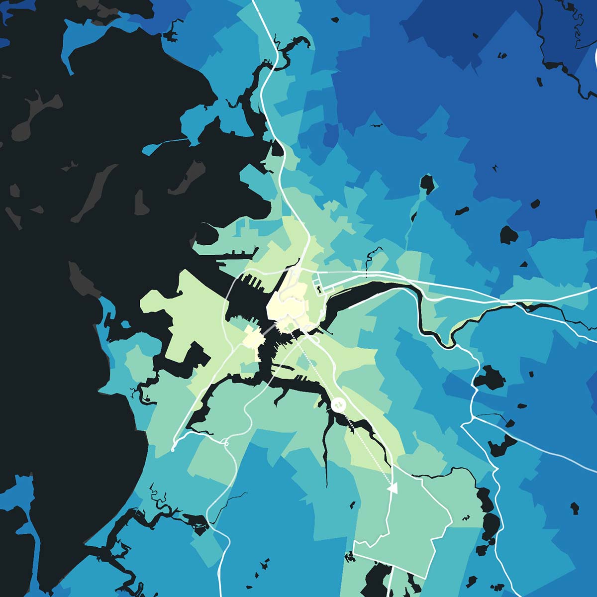
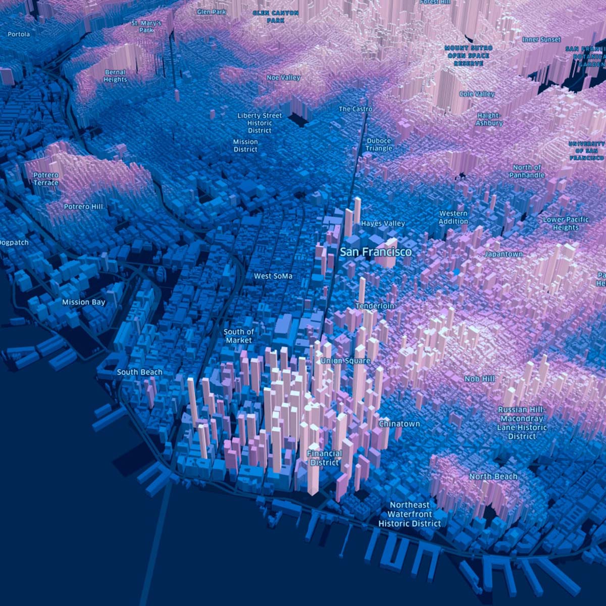
GIS People’s location-based solutions enable cities and municipalities to create smarter infrastructure planning strategies.
Our experts leverage GIS technology to gather data, analyze it, and create visual representations that help decision-makers visualize the potential impact of infrastructure projects. By understanding the potential outcomes of various projects, cities can allocate their resources more effectively and ensure the best outcomes for their communities.
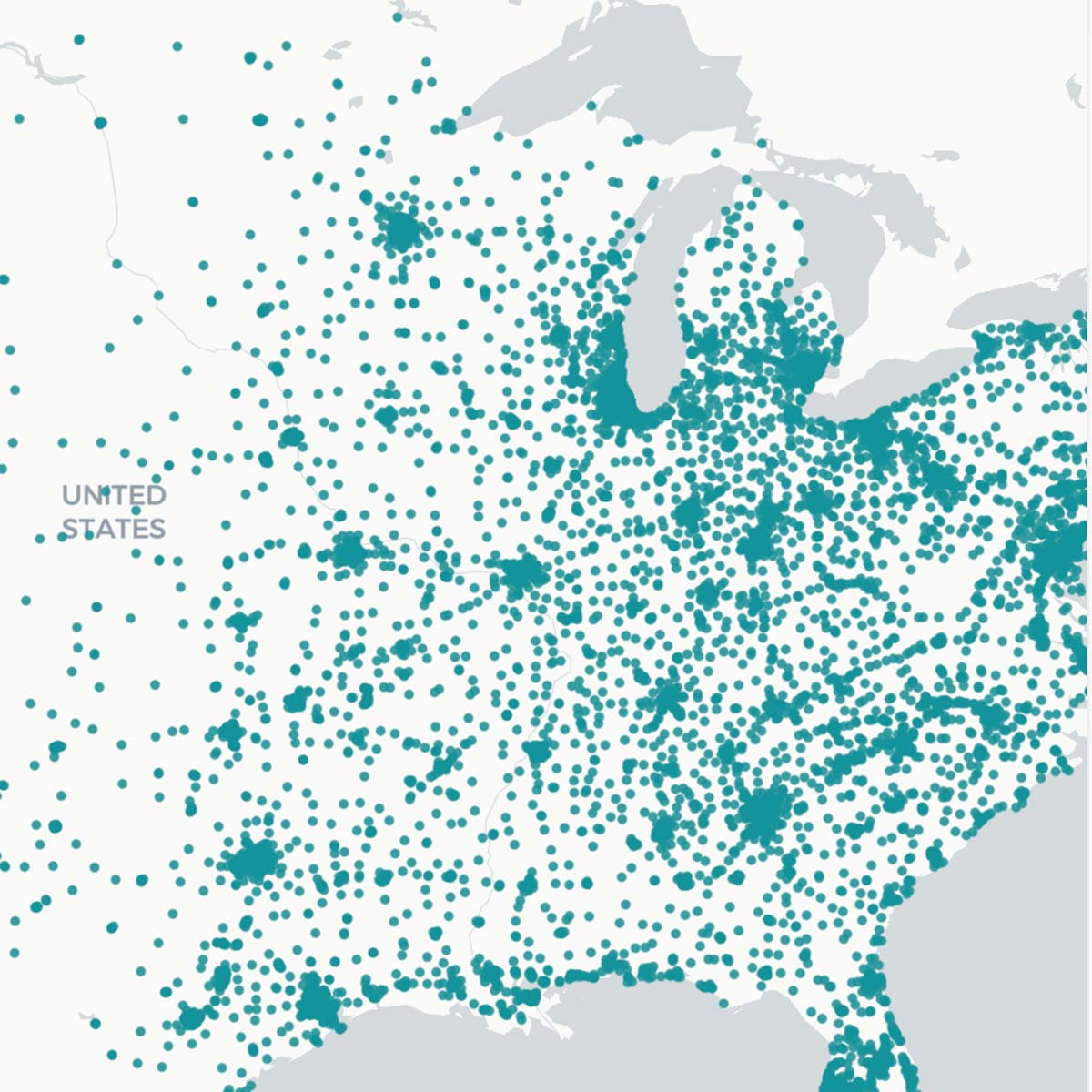
GIS People’s solutions support cities and municipalities in enhancing their emergency response capabilities. Our solutions provide real-time insights into an emergency situation’s location and scale, helping first responders to deploy resources more effectively.
We also assist cities in developing disaster response plans and conducting regular simulations using predictive analytics, ensuring that emergency response teams are prepared to act when disasters strike.
GIS People’s solutions empower cities and municipalities to promote sustainable development practices. By integrating GIS technology into their urban planning processes, cities can identify areas for sustainable development and optimize existing infrastructure.
Our experts help cities to evaluate different development scenarios and assess their impact on the environment and the community, enabling them to make informed decisions that balance economic growth and sustainability.
Please provide us with your details to download the free eBook.
By clicking “Submit”, I agree to GIS People’s Privacy Policy.
Adding {{itemName}} to cart
Added {{itemName}} to cart