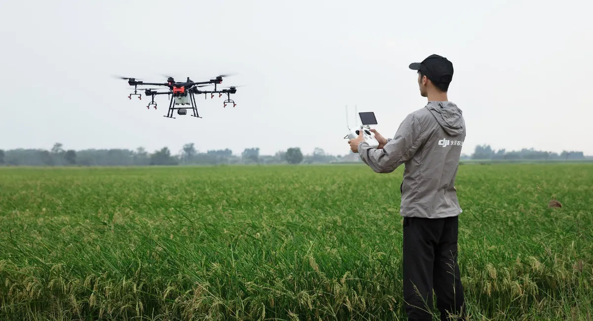
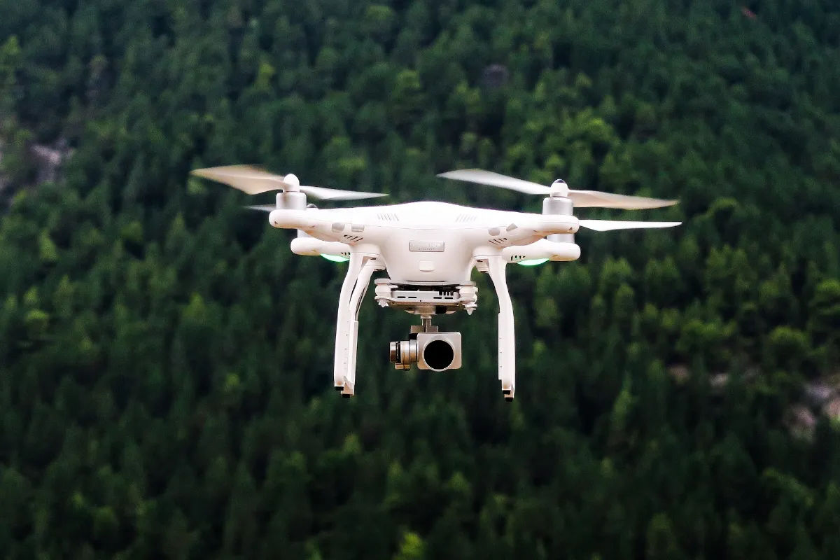
In today’s rapidly evolving technological landscape, drones and LiDAR (Light Detection and Ranging) are revolutionizing the field of land surveying. These innovative tools have transformed traditional surveying methods, enabling professionals to gather data more efficiently, accurately, and cost-effectively. By harnessing the power of drones and LiDAR, land surveyors can now unlock a new realm of possibilities and elevate their work to unprecedented heights.
How LiDAR Technology is Changing the Land Surveying Industry
LiDAR technology has emerged as a game-changer in the land surveying industry, offering unprecedented accuracy and efficiency. By using lasers to measure distances and create detailed 3D maps of the surveyed area, LiDAR allows land surveyors to gather highly precise data in a fraction of the time it would take using traditional methods. With its ability to penetrate dense vegetation and accurately capture terrain features, LiDAR technology empowers surveyors to generate accurate digital elevation models and topographic maps with ease.
Moreover, LiDAR data can be easily integrated with Geographic Information System (GIS) software, enabling surveyors to analyze and interpret the gathered information more effectively. This integration enhances the decision-making process, enabling professionals to identify potential challenges, plan infrastructure projects, and make informed recommendations.

Understanding the Benefits of Drones and LiDAR in Land Surveying
When combined with drones, LiDAR becomes even more powerful, opening up a whole new world of possibilities for land surveyors. Drones equipped with LiDAR sensors can swiftly and effortlessly capture detailed aerial images and geospatial data, transforming the surveying process entirely.
One of the key benefits of using drones with LiDAR is the ability to access remote or hazardous areas that would otherwise be challenging or dangerous to reach manually. Drones equipped with LiDAR sensors can effortlessly cover vast expanses of land, collecting highly accurate data from challenging-to-reach terrains, such as rugged mountains, dense forests, or hazardous industrial sites.
Furthermore, the integration of drones and LiDAR dramatically reduces the time and cost associated with land surveying projects. Compared to traditional methods that involve lengthy fieldwork and data processing, drone-based surveying with LiDAR can provide results in significantly less time, allowing professionals to achieve higher productivity and profitability.
Unlocking Greater Efficiency With Drone-Based Surveying
The utilization of drones in land surveying brings immense efficiency gains to the industry. By leveraging drones equipped with high-resolution cameras, land surveyors can effortlessly capture aerial imagery, providing highly detailed visual data for analysis.
Additionally, the ability to conduct surveys from above offers a new perspective on land analysis. This bird’s-eye view allows surveyors to identify potential issues or anomalies that might go unnoticed from ground-level surveys. This newfound efficiency can have a significant impact on infrastructure planning, urban development, and natural resource management.
Moreover, the use of drones eliminates the need for ground-based surveying equipment and reduces the workforce required for traditional surveys. With drones doing the heavy lifting, land surveyors can allocate resources more efficiently, redirecting manpower to other critical tasks that require human expertise and judgment. This streamlined approach not only optimizes project timelines but also minimizes costs and the risk of errors.
Exploring the Advantages of Drone-Based Surveying
Drone-based surveying offers a myriad of advantages over traditional methods, serving as a catalyst for progress in the industry. One of the standout benefits is the significant reduction in data collection time. Drones equipped with LiDAR can rapidly cover large areas, capturing millions of data points in a single flight. This speed not only accelerates project timelines but also brings substantial cost savings, enhancing overall project efficiency.
Moreover, drone-based surveying improves data accuracy and minimizes human error. Drones equipped with LiDAR sensors can consistently collect data with exceptional precision, reducing the reliance on manual measurements that may be subject to discrepancies or inconsistencies. This unparalleled accuracy ensures highly reliable and precise survey results, enabling surveyors to make informed decisions confidently.
Additionally, drone-based surveying allows for safer working conditions. By removing the need for surveyors to physically access hazardous or challenging locations, drones equipped with LiDAR sensors mitigate the risks associated with fieldwork. This enhanced safety factor not only protects the surveying team but also increases the overall efficiency and reliability of the project.
How Drones and LiDAR are Making Surveying Faster and Easier
Traditionally, land surveying involved manually collecting data on foot or using specialized equipment. This labor-intensive process was not only time-consuming but also prone to errors. With the advent of drones and LiDAR technology, surveying becomes faster, easier, and more accurate.
The speed at which drone-based surveys can be conducted is unparalleled. In a matter of hours, surveyors can collect data that would otherwise take days or even weeks to gather manually. This time-saving advantage allows professionals to undertake large-scale projects efficiently, reducing project timelines and costs.
Furthermore, the ease of use and accessibility of drone-based surveying tools democratizes the field, making it more accessible to a wider range of professionals. The intuitive nature of drone operation ensures that surveyors can quickly learn and adapt to the technology, enabling them to integrate it seamlessly into their work processes.
From Aerial Photography to LiDAR: Advances in Land Surveying
Advancements in land surveying have taken leaps and bounds over the years, progressing from traditional aerial photography to the integration of LiDAR technology. Aerial photography, although considered revolutionary at the time, had limitations regarding data accuracy and analysis capabilities.
However, with the emergence of LiDAR technology, land surveying has reached new heights of accuracy and efficiency. LiDAR’s ability to capture millions of measurement points per second allows for high-resolution mapping that meets the most stringent accuracy requirements. This breakthrough has transformed the precision and quality of surveying data, offering professionals an unprecedented level of detail and accuracy.
Furthermore, the integration of aerial photography and LiDAR provides a comprehensive solution for land surveying projects. Aerial photography delivers visual data, which can be combined with LiDAR data to create a holistic understanding of the surveyed area. This integration enhances visualization and analysis capabilities, leading to more precise decision-making and robust project outcomes.

Automating Land Surveying with Drones and LiDAR
The integration of drones and LiDAR technology opens up new possibilities for automation in land surveying. Through the use of predefined flight plans and waypoint systems, drones can autonomously navigate the survey area, capturing data and producing detailed maps without human intervention.
This automation streamlines the process by reducing human error and increasing data consistency. With surveys being conducted consistently and accurately, professionals can rely on the data collected by drones for informed decision-making.
Moreover, the automation of land surveying with drones and LiDAR drives higher productivity. Surveyors are freed from mundane and time-consuming tasks, allowing them to focus their expertise on analysis and interpretation. This synergy of human ingenuity and technological capabilities creates a dynamic workflow that maximizes efficiency and project outcomes.
The Impact of Drones and LiDAR on Land Surveying Projects
The impact of drones and LiDAR on land surveying projects is transformative, revolutionizing the industry on multiple fronts. From surveying challenging terrains to automating data collection and analysis, these technologies have proven instrumental in enhancing project efficiency, accuracy, and safety.
By significantly reducing project timelines and costs, drones and LiDAR have made land surveying more accessible than ever before. Smaller teams can now undertake larger projects with better precision and reduced risk, opening up new opportunities for growth in the industry.
As the technology continues to evolve, it is expected that drones and LiDAR will further optimize the surveying process. Advancements in AI and machine learning will enable drones to analyze data in real-time, providing instant recommendations and insights. This continuous innovation promises exciting prospects for land surveying, ensuring that the industry remains at the forefront of technological progress.
Ultimately, drones and LiDAR have revolutionized land surveying, propelling the industry towards greater efficiency, accuracy, and safety. As these technologies continue to evolve and become more accessible, they hold the potential to transform how we understand and interact with our environment. The possibilities they offer are truly awe-inspiring, ushering in a new era of land surveying innovation.


