
India’s High-Speed Bullet Rail Project is a groundbreaking endeavor that promises to revolutionize the country’s transportation system. This ambitious project aims to provide a fast and efficient rail network connecting major cities, reducing travel time, and improving overall connectivity. The use of Geographic Information Systems (GIS) in planning this project has been instrumental in overcoming various challenges, visualizing the rail network, mitigating risks, and ensuring safety.
Overview of India’s High-Speed Bullet Rail Project
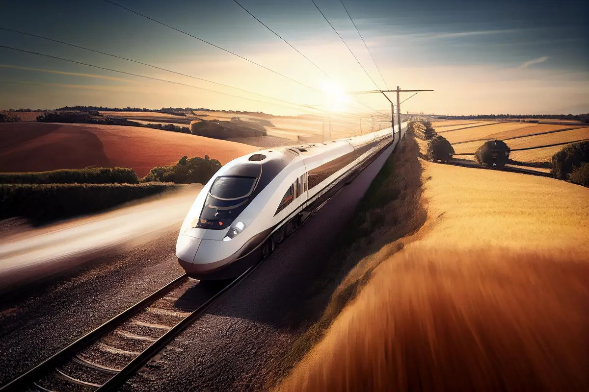
The High-Speed Bullet Rail Project in India is a visionary initiative of the government to modernize transportation infrastructure and stimulate economic growth. The project involves the construction of high-speed rail corridors spanning thousands of kilometers, providing passengers with swift and reliable travel options. These bullet trains, designed to reach speeds of over 300 kilometers per hour, will not only reduce travel time but also alleviate congestion on existing transport networks.
India, with its massive population and rapidly growing urban centers, faces numerous challenges in terms of transportation. The country’s road networks are often congested, leading to long travel times and increased pollution. Additionally, air travel is not always a viable option due to limited airport capacity and high ticket prices. The High-Speed Bullet Rail Project aims to address these issues by offering a convenient and efficient mode of transportation.
One of the key advantages of the bullet train system is its ability to connect major cities and urban centers. With the high-speed rail corridors, travelers will have the opportunity to reach their destinations quickly and comfortably. This will not only benefit individuals but also have a positive impact on businesses and the overall economy. Improved connectivity will facilitate the movement of goods and services, boosting trade and commerce across the country.
Furthermore, the high-speed rail project will contribute to the reduction of carbon emissions. As bullet trains run on electricity, they are a greener alternative to traditional modes of transportation that rely on fossil fuels. By encouraging people to choose rail travel over cars or airplanes, the project aims to mitigate the environmental impact of transportation and promote sustainable development.
The High-Speed Bullet Rail Project is not just about transportation; it is a symbol of India’s ambition and commitment to progress. The construction of the rail corridors will create numerous job opportunities, stimulating economic growth and development in the regions where the project is implemented. Additionally, the project will attract investments and technology transfers, as international companies collaborate with Indian counterparts to bring the latest advancements in high-speed rail technology.
Moreover, the bullet train system will enhance the overall travel experience for passengers. The trains will be equipped with state-of-the-art amenities, including comfortable seating, onboard entertainment, and high-speed internet connectivity. Passengers will be able to work, relax, or socialize during their journey, making travel time more productive and enjoyable.
In conclusion, the High-Speed Bullet Rail Project in India is a transformative initiative that aims to revolutionize transportation and drive economic growth. By providing a fast, reliable, and sustainable mode of travel, the project will not only improve connectivity but also create employment opportunities and attract investments. With its numerous benefits, the high-speed bullet rail system is set to redefine the way people travel in India and propel the country towards a more prosperous future.
Challenges of Rail Planning in India and How GIS Helps
Planning and executing a project of this magnitude in a country as vast and diverse as India presents numerous challenges. From land acquisition and environmental impact assessment to ensuring public safety and stakeholder coordination, the complexities are manifold. This is where GIS becomes a crucial tool in overcoming these challenges.
GIS technology enables planners to analyze geographical data, identify suitable routes, and assess potential impacts on the environment and communities. By integrating spatial data on land use, topography, and existing infrastructure, planners can make informed decisions and evaluate the feasibility of proposed routes. This aids in optimizing resource allocation, minimizing environmental impact, and ensuring the project’s sustainability.
Using GIS to Visualize India’s High-Speed Bullet Rail Network
One of the key advantages of GIS in rail planning is its ability to visually represent complex spatial data. GIS software allows planners to create detailed maps and 3D visualizations of the proposed rail network, giving stakeholders and decision-makers a clear understanding of the project’s scope and impact.
By overlaying various data sets on these visualizations, such as population centers, existing railway lines, and potential sites for future development, planners can identify optimal routes and locations for stations. This visual representation also helps in communicating the project’s benefits, making it more accessible to the public and garnering support.
Leveraging GIS for Railway Risk Mitigation and Safety
Ensuring the safety of passengers and infrastructure is paramount in any transportation project. GIS plays a vital role in risk assessment and safety planning for the High-Speed Bullet Rail Project in India.
Using GIS, planners can analyze factors such as geological hazards, flood-prone areas, and seismic zones, enabling them to design robust infrastructure and implement appropriate safety measures. GIS also facilitates the identification of vulnerable areas, allowing for targeted risk mitigation strategies and emergency response planning.
By integrating real-time data feeds and predictive modeling, GIS helps anticipate potential risks and supports proactive decision-making. This proactive approach ensures the safety and resilience of the rail network, protecting both lives and investments.
Benefits of GIS for Rail Planning in India
- Optimized route selection, considering factors like distance, travel time, and terrain.
- Improved resource allocation by analyzing spatial data, minimizing costs, and maximizing efficiency.
- Sustainable development through effective environmental impact assessment and mitigation strategies.
- Enhanced decision-making by visualizing complex data, aiding stakeholder communication.
- Better risk management and safety planning, mitigating potential hazards.
- Increased accessibility and connectivity, supporting economic growth and regional development.
The deployment of GIS in India’s High-Speed Bullet Rail Project has already demonstrated its immense value. The project not only aims to enhance mobility within the country but also contributes to a greener future by reducing carbon emissions associated with air travel and road transportation.
As the project moves forward, the continued utilization of GIS in various stages, from planning to operation and maintenance, will further optimize rail connectivity and ensure a sustainable and safe transportation system for generations to come.