In this rapidly evolving world of technology, drones have revolutionized various industries with their ability to capture aerial imagery. One such industry that has greatly benefited from this innovation is property mapping. With the help of drones, mapping properties with aerial imagery has become more efficient, accurate, and cost-effective than ever before.
An Overview of Drones and Aerial Imagery
Before delving into the benefits of utilizing drones for property mapping, let’s first understand what drones are and how they are changing the game in capturing aerial imagery.
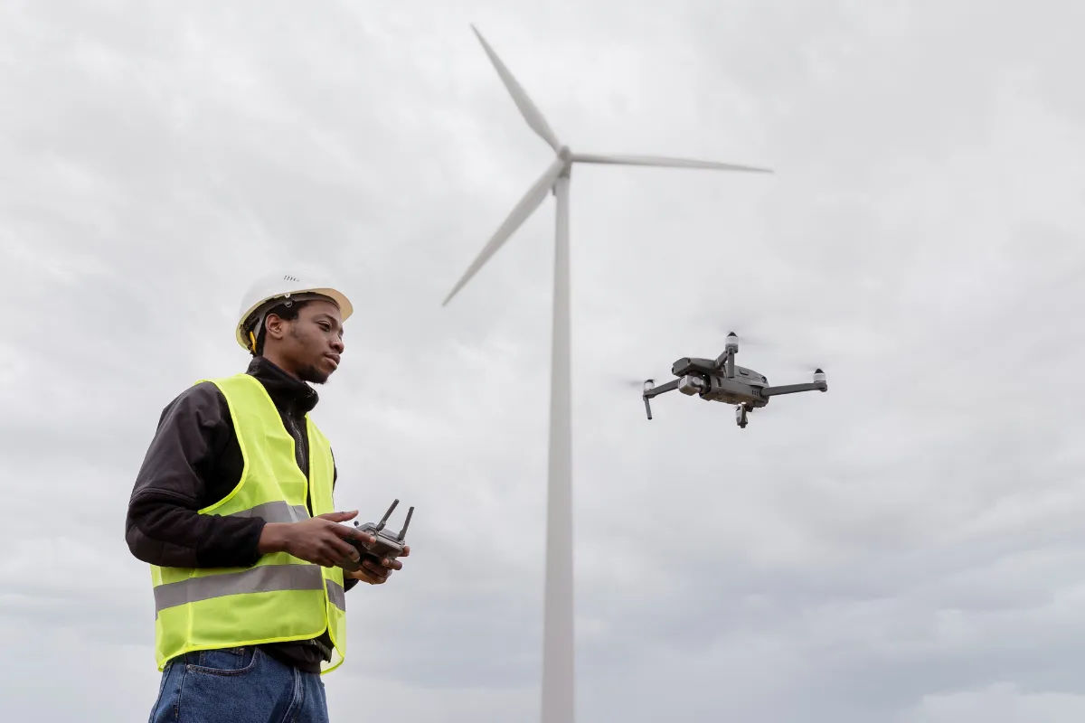
Drones, also known as unmanned aerial vehicles (UAVs), are remote-controlled aircraft equipped with high-resolution cameras and sensors. They are capable of flying over properties, capturing high-definition images, videos, and even thermal data from an elevated perspective. This enables property owners, real estate agents, surveyors, and other professionals to gain a comprehensive understanding of the landscape and its features.
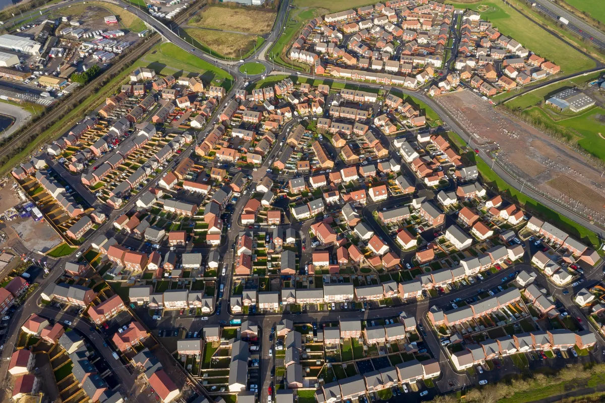
The use of drones in capturing aerial imagery has revolutionized various industries. In the real estate sector, for example, drones have become an invaluable tool for showcasing properties to potential buyers. With their ability to capture stunning aerial shots, drones provide a unique and captivating perspective that traditional photography cannot achieve. These aerial images not only highlight the property’s features but also showcase the surrounding area, giving potential buyers a better sense of the location and its amenities.

Furthermore, drones have proven to be extremely useful in surveying and mapping applications. Traditional land surveying methods can be time-consuming and expensive, requiring manual measurements and ground-based equipment. Drones, on the other hand, can cover large areas in a fraction of the time, providing highly accurate and detailed maps. This is particularly beneficial in industries such as construction and infrastructure development, where precise measurements and mapping are essential for project planning and execution.
Another area where drones have made a significant impact is in environmental monitoring and conservation efforts. With their ability to access remote and inaccessible areas, drones can collect data on wildlife populations, monitor changes in vegetation, and even detect illegal activities such as poaching and deforestation. This data is crucial for researchers, conservationists, and government agencies in making informed decisions and implementing effective conservation strategies.
Moreover, drones have also found applications in disaster management and emergency response. In the aftermath of natural disasters such as hurricanes, earthquakes, or floods, drones can be deployed to assess damage, locate survivors, and aid in search and rescue operations. Their ability to quickly and efficiently gather visual data from above can significantly enhance the effectiveness of emergency response teams, enabling them to make informed decisions and allocate resources more effectively.
As technology continues to advance, drones are becoming more sophisticated and capable. They are equipped with advanced sensors, artificial intelligence, and even autonomous flight capabilities. This opens up new possibilities for their use in various industries, including agriculture, infrastructure inspection, and delivery services. The potential for drones in capturing aerial imagery and providing valuable data is vast, and their impact on industries and society as a whole is only expected to grow in the coming years.
Exploring the Benefits of Mapping Properties with Drones
When it comes to mapping properties, drones offer a wide range of advantages that surpass traditional methods. Let’s delve into some of these benefits:
1. Enhanced Efficiency and Accuracy
Traditionally, property mapping required time-consuming manual measurements and documentation. With drones, the process becomes much faster and more accurate. Drones equipped with GPS and advanced imaging technologies can swiftly capture thousands of images, creating highly detailed maps with precise measurements. This not only saves time but also minimizes the margin for human error.
2. Detailed Visualization
Drones provide an unparalleled ability to capture detailed aerial imagery of properties. With high-resolution cameras and sensors, every nook and cranny of a property can be captured with astonishing clarity. This allows property owners and potential buyers to explore every aspect of the property without physically being there.
3. Time and Cost Savings
Compared to traditional surveying methods, which require large teams of professionals and extensive fieldwork, mapping properties with drones is a highly cost-effective solution. Drones eliminate the need for expensive equipment and reduce labor costs, resulting in significant savings for property owners. Moreover, the quick turnaround time enabled by drone mapping saves both time and money.

Understanding the Process of Mapping Properties with Drones
Now that we have seen the benefits, let’s dive into the process of mapping properties using drones:
1. Pre-Flight Planning
Prior to launching the drone, careful planning is crucial to ensure a successful mapping mission. This involves selecting the appropriate flight path, setting the desired altitude, and identifying any potential obstacles or airspace restrictions.
2. Drone Flight and Image Capture
Once the pre-flight planning is complete, the drone can be launched. It autonomously follows the predetermined flight path, collecting aerial images at regular intervals. The onboard camera captures high-definition images that showcase the property from different angles and heights.
3. Data Processing and Mapping
The collected images are then processed to create accurate maps and 3D models of the property. Specialized software stitches the images together, aligns them, and generates detailed maps that provide valuable insights into the property’s topography, boundaries, and dimensions.
The Latest Technology in Property Mapping
Innovation never stands still, and the field of property mapping with drones is no exception. Let’s explore some of the latest technologies driving this industry forward:
1. LiDAR Mapping
LiDAR, short for Light Detection and Ranging, is a technology that uses laser pulses to create precise 3D maps of the environment. Integrated with drones, LiDAR sensors provide highly accurate elevation data, enabling more detailed property mapping in terms of terrain, slopes, and even vegetation analysis.
2. Real-Time Data Processing
Advancements in onboard processing capabilities have made it possible to generate maps in real-time while the drone is still in flight. This allows immediate feedback and adjustments to be made, ensuring the accuracy of the data and reducing the need for post-flight processing.
High-Resolution Aerial Imagery with Drones
When it comes to capturing breathtaking aerial imagery of properties, drones are second to none. Their ability to access unique vantage points and capture high-resolution images provides an invaluable visual perspective for property marketing and analysis.
From panoramic shots that showcase the grandeur of expansive estates to close-ups that highlight intricate architectural details, drones offer a level of visual storytelling that engages potential buyers and investors on a whole new level. With their maneuverability and versatility, drones can capture images from various angles and altitudes, revealing the true beauty of a property in a way that traditional static photographs simply can’t.
Cost-Effective Solutions for Property Mapping using Drones
In addition to their efficiency, drones also offer significant cost savings when it comes to property mapping. Traditional surveying methods can be prohibitively expensive, especially for large-scale properties or real estate developments. Drones, on the other hand, provide a cost-effective alternative that doesn’t compromise on accuracy or quality.
By eliminating the need for extensive fieldwork and reducing the reliance on specialized equipment, drones streamline the mapping process and reduce overall project costs. Moreover, the quick turnaround time means property owners can obtain valuable mapping data without lengthy delays, enabling faster decision-making and project progression.
Advantages of Using Drones for Property Mapping
Now that we have explored the numerous benefits and technologies associated with mapping properties using drones, let’s summarize the advantages they bring:
- Enhanced efficiency and accuracy compared to traditional methods.
- Ability to visualize properties in incredible detail.
- Time and cost savings through streamlined processes.
- Access to the latest mapping technologies, such as LiDAR.
- Creation of high-resolution aerial imagery for marketing and analysis.
It’s clear that drones have disrupted the field of property mapping, providing innovative solutions that offer superior outcomes. Whether you are a property owner, real estate agent, or developer, harnessing the power of drones and aerial imagery can propel your projects to new heights. Embrace this technology, and unlock a world of possibilities for your property mapping endeavors.


