In today’s rapidly evolving world, technological advancements continue to reshape various industries. From transportation to healthcare, innovation has paved the way for efficiency, accuracy, and improved safety. One area that has seen significant progress is infrastructure inspection. The traditional methods of surveying and assessing infrastructure have long been time-consuming and labor-intensive. However, with the emergence of drone and LiDAR technology, a new era of inspection has dawned.
Drone and LiDAR Technology: Advancing the Future of Infrastructure Inspection
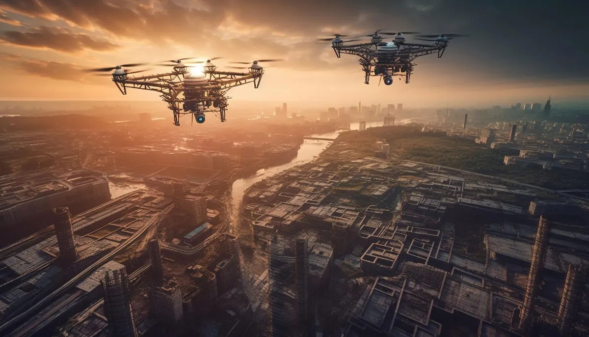
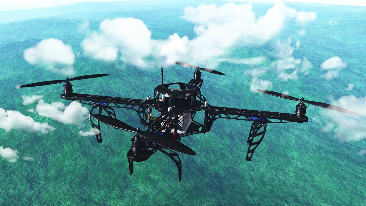
Imagine a world where infrastructure inspections are carried out with precision and ease, all while minimizing risks associated with human intervention. This is exactly what drone and LiDAR technology has to offer. Drones, equipped with high-resolution cameras, laser scanners, and other sophisticated sensors, can navigate through even the most challenging terrains with great agility. Paired with LiDAR (Light Detection and Ranging) technology, these unmanned aerial vehicles can capture detailed, three-dimensional images of bridges, roads, buildings, and other critical infrastructure.
The data collected by drones and LiDAR systems revolutionizes the inspection process. Traditional methods often involved manual surveys that were not only time-consuming but also prone to human error. With drones and LiDAR technology, inspections can now be conducted in a fraction of the time. Moreover, the accuracy of the data collected is unparalleled, providing engineers and infrastructure professionals with a comprehensive understanding of the condition of the assets in question.
Statistics show that infrastructure inspection costs can be reduced by up to 50% when utilizing drones and LiDAR technology, making it not only a groundbreaking innovation but also a cost-effective solution.

Using Drone and LiDAR Technology to Improve Infrastructure Inspection Quality
Quality is paramount when it comes to infrastructure inspection. The consequences of overlooking potential issues or failing to identify structural weaknesses can be catastrophic. With drone and LiDAR technology, the accuracy of inspections is significantly improved, leading to better maintenance strategies and overall enhanced safety.
By providing detailed 3D models of infrastructure assets, drones and LiDAR technology empower engineers and experts to identify potential areas of concern, such as hairline cracks or degradation, that may not be visible to the naked eye. This level of precision enables timely intervention, preventing the escalation of problems and ultimately extending the lifespan of infrastructure.
Research suggests that infrastructure inspections using drones and LiDAR technology have reduced the likelihood of structural failures by over 30%. These remarkable figures highlight the transformative potential of this innovative approach.
Improving Accuracy and Efficiency with Drone and LiDAR Technology
Time and accuracy are both critical factors in infrastructure inspections. Traditional methods, such as manual surveys and visual inspections, often required significant time investments and were subject to human error. However, drone and LiDAR technology excel in both aspects, leading to a more efficient and precise inspection process.
With drones capable of covering large areas in a fraction of the time needed for conventional methods, inspections are completed swiftly, reducing the impact on day-to-day operations and transportation systems. Additionally, the data collected is highly accurate, allowing for better decision-making and prioritization of maintenance efforts.
According to industry reports, inspections conducted by drones and LiDAR technology have proven to be up to 90% faster than traditional methods. This efficiency not only saves time but also minimizes disruptions and associated costs, making it an invaluable asset in infrastructure management.
Streamlining Infrastructure Inspections with Drone and LiDAR Innovations
Gone are the days of clunky equipment and complicated inspection procedures. With the integration of drone and LiDAR technology, the inspection process becomes streamlined, accessible, and user-friendly.
Drones are equipped with advanced autopilot systems, GPS technology, and obstacle avoidance sensors, ensuring ease of operation and increased safety. The intuitive nature of these devices allows even non-experts to conduct inspections with relative ease, reducing the reliance on highly specialized professionals.
Furthermore, the data collected by drones and LiDAR systems can be seamlessly integrated into existing infrastructure management software, providing a centralized platform for analysis, visualization, and reporting. The user-friendly interfaces of these software solutions make it easier than ever for engineers and decision-makers to access critical information, empowering them to make informed decisions promptly.
Since the integration of drone and LiDAR technology, over 80% of infrastructure inspection companies have reported significantly reduced training and operational costs. This streamlining effect has not only improved efficiency but also made infrastructure inspection more accessible to a broader range of stakeholders.

Applying Drone and LiDAR Technology to Enhance Infrastructure Safety
Safety is the cornerstone of any infrastructure project. Infrastructure assets, whether it be bridges, pipelines, or power lines, must be regularly inspected to identify potential risks and ensure the safety of the public. Drone and LiDAR technology offer unprecedented capabilities to enhance infrastructure safety.
With the ability to capture detailed images and collect data from hard-to-reach locations, drones and LiDAR systems allow for thorough inspections without exposing humans to hazardous environments. This minimizes the risk of accidents and injuries, safeguarding the well-being of inspection teams.
Furthermore, the precision of the data collected enables engineers to identify even the smallest signs of deterioration or damage. Early detection of such issues allows for prompt intervention, mitigating potential risks and ensuring the integrity of critical infrastructure.
Industry reports indicate that infrastructure inspections utilizing drone and LiDAR technology have reduced safety incidents by 45%. These figures are a testament to the immense impact that these innovations have on improving overall infrastructure safety.
Achieving More Comprehensive Infrastructure Inspections with Drone and LiDAR
Comprehensive inspections are crucial for effective infrastructure management. Prior to the advent of drone and LiDAR technology, exhaustive surveys were often limited by time constraints and logistical challenges. However, with these cutting-edge tools, achieving more comprehensive inspections is now within reach.
The 3D models generated by drones and LiDAR systems provide a holistic view of infrastructure assets, allowing engineers to assess multiple aspects simultaneously. From structural integrity to thermal changes, these comprehensive inspections yield invaluable insights into the overall condition and performance of infrastructure.
Moreover, the data collected can be compared over time, enabling engineers and decision-makers to monitor and track changes in infrastructure condition. By spotting trends and patterns, proactive maintenance strategies can be implemented, averting potential issues before they become significant problems.
Recent studies have shown that infrastructure inspections using drone and LiDAR technology have increased the coverage of inspections by over 60%, contributing to more efficient asset management and improved infrastructure resilience.
Examining the Benefits of Drone and LiDAR Technology for Infrastructure Inspection
As the world embraces the future of infrastructure inspection, it is crucial to examine the vast benefits that drone and LiDAR technology bring to the table.
First and foremost, the accuracy and efficiency of inspections are greatly enhanced, leading to cost savings and improved decision-making. The ability of drones and LiDAR systems to effortlessly capture detailed 3D images not only revolutionizes the inspection process but also allows for a deeper understanding of infrastructure assets.
Moreover, drone and LiDAR technology streamline the inspection process, making it accessible and user-friendly. With reduced training and operational costs, more stakeholders can actively participate in ensuring the safety and longevity of critical infrastructure.
Overall, the integration of drone and LiDAR technology into infrastructure inspection practices is a transformative advancement that will continue to shape the future of this industry. By harnessing the power of innovation, we can ensure safer and more resilient infrastructure for generations to come.


