
Transmax · Government
STREAMS Next-Gen Spatial Data Modelling
How GIS People's embedded geospatial specialists model STREAMS' spatial data in PostgreSQL and PostGIS and prove every design in QGIS before Transmax's developers write production code, so the cloud-first rebuild is built right the first time.
Published
Transmax is the transport technology company behind STREAMS, the intelligent transport systems (ITS) platform that road authorities in Queensland, Victoria, New South Wales, Tasmania, the ACT and Western Australia use to run their networks. STREAMS manages traffic signals, motorways, incidents and heavy vehicles from more than 13 traffic management centres and integrates over 100,000 roadside devices. Wholly owned by the Queensland Department of Transport and Main Roads, Transmax was formed in 2005 from the departmental division that had developed STREAMS, and is now part-way through a multi-year programme to build STREAMS Next-Gen, a cloud-based successor to the platform.
Challenge
STREAMS was originally built in the late 1990s. It survived the way most long-running platforms do, through three decades of patches, extensions and workarounds. None of that gave it the look, feel or workflow a 2020s operator expects. It still ran on on-premise servers tied to physical hardware that had to be maintained and refreshed rather than simply scaled, and plenty of the work behind the scenes was still manual, the kind of repetitive processing a modern platform handles on its own. None of this made STREAMS unsafe. It made it slow to change and expensive to keep patching, so Transmax decided the smarter move was to stop patching and rebuild STREAMS from the ground up as a cloud-first platform.
A rebuild on that scale needs skills a general software team does not usually have. Good developers are not automatically good at geospatial data. Modelling spatial relationships in PostgreSQL and PostGIS is a specific discipline, and so is prototyping a spatial design in QGIS before it goes anywhere near production. Both take years to build, and people who already have them are hard to find quickly.
Solution
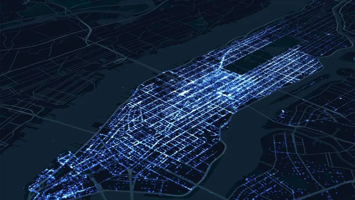
Since 2024, GIS People’s geospatial specialists have worked inside Transmax’s Platform Engineering team on the rebuild. Their contribution starts with data modelling, working out how STREAMS’ spatial information should be structured in PostgreSQL and PostGIS so that it holds up under real traffic conditions. It continues with rapid prototyping in QGIS, building a working version of each design before a single line of production code is written, so that Transmax’s developers build from a model that has already been exercised.
The specialists do not run a separate GIS workstream alongside the rebuild. They are part of it, working to the same Agile and Scrum cadence and through the same DevOps pipeline as everyone else on the team, and when the rebuild is done Transmax is not left carrying a specialist role it may not need permanently.

Outcomes
- A PostgreSQL and PostGIS spatial data model designed to hold up under real traffic, real vehicles and real incidents.
- Every spatial design tested as a working QGIS prototype before Transmax’s developers turn it into production code, so problems are found while they are still a design decision rather than a support ticket.
- Fewer surprises after launch and an Agile schedule that holds, because the underlying model was sound before development began.
- Specialist geospatial capability from day one, embedded in Transmax’s own process, with no permanent specialist role to carry once the rebuild is done.

Spatial data problems get expensive once they are built into a production system. A data model that looks fine on a whiteboard can behave very differently when real traffic, real vehicles and real incidents start flowing through it. Catching those problems in a prototype is what getting STREAMS Next-Gen right the first time means in practice.
Does your engineering team need geospatial depth it does not have in-house? We embed geospatial data modelling and QGIS prototyping expertise inside engineering teams, working to their cadence and their pipeline. Talk to GIS People about yours.