GIS Visualization of Alien Abduction Hotspots Uncover the mysterious phenomenon of alien abduction hotspots through captivating GIS visualizations.
Spatial Analysis of Parallel Universes Delve into the mind-bending world of parallel universes with our in-depth spatial analysis.
Using GIS for Electoral Redistricting Discover how Geographic Information Systems (GIS) are revolutionizing the electoral redistricting process.
GIS in Wildlife Migration Studies Explore the fascinating world of wildlife migration studies and how Geographic Information Systems (GIS) are revolutionizing our understanding of animal movements.
GIS Analysis of Mythological Landscapes Explore the fascinating world of mythological landscapes through GIS analysis in this captivating article.
Geospatial Analysis of UFO Sightings Uncover the mysteries of UFO sightings with a captivating geospatial analysis.
Top 5 Emerging Trends in GIS Discover the top 5 emerging trends in GIS that are shaping the future of spatial technology and data analysis.
Efficient Tree Inventory, Canopy and Health Assessment with GIS Learn how to streamline tree inventory, canopy analysis, and health assessment using GIS technology.
Low-code No-code Workflow Automation Powered By GIS Discover how low-code and no-code workflow automation tools are revolutionizing the integration of Geographic Information Systems (GIS) technology.
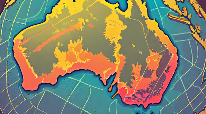
Mapping Climate Change Impacts on Australia’s Coastal Regions Explore the far-reaching effects of climate change on Australia's coastal regions in this comprehensive article.