Trees are one of nature’s most valuable assets. Not only do they provide us with shade and beauty, but they also play a crucial role in our environment by purifying the air, reducing noise pollution, conserving energy, and mitigating the effects of climate change. As cities continue to expand, it becomes increasingly important to manage and monitor our urban forests effectively. That’s where Geographic Information System (GIS) technology comes into play.
Reinventing Tree Management: Satellite and Mobile Apps
In the past, tree management and assessment were labor-intensive tasks that required extensive on-the-ground surveys and manual data collection. However, with advances in satellite imagery and mobile apps, the way we manage trees has been completely revolutionized. Now, we can obtain accurate data and assess the health and condition of trees remotely, saving both time and resources.
Using satellite imagery, we can map and analyze the distribution of trees across cities, identifying areas with inadequate tree cover and places where tree planting efforts would have the most impact. With the help of mobile apps, arborists and field workers can easily collect data on individual trees, such as species, height, diameter, health condition, and any maintenance or pruning needs. This data can be synchronized with a central database, allowing for real-time monitoring and management of urban forests.

Understanding Trees from Space: A Practical Guide
When it comes to assessing tree inventory, canopy cover, and health from space, understanding the science behind it is essential. Satellites equipped with remote sensing instruments capture images of Earth’s surface, including our urban landscapes. By analyzing these images, GIS experts can identify individual trees, measure their canopy cover, and even assess their health by detecting signs of stress, disease, or insect infestation.
One of the key techniques used in satellite-based tree assessment is LiDAR (Light Detection and Ranging). LiDAR technology uses laser pulses to create incredibly detailed 3D maps, allowing us to estimate tree height, volume, and biomass. This information is invaluable for urban planners, foresters, and environmental organizations who seek to understand the ecological value and benefits that trees bring to our cities.
Establishing Tree Inventory, Canopy and Health from Space
Creating a comprehensive tree inventory is the foundation of efficient tree management. By combining satellite imagery, LiDAR data, and field-collected information, cities can establish a detailed database of their urban forests. This inventory allows us to track changes over time, identify areas that require intervention, and plan future planting projects strategically.
GIS technology also enables us to assess the canopy cover of our urban forests. Canopy cover refers to the extent to which tree crowns overlap and shade the ground below. A high canopy cover provides numerous benefits, including temperature regulation, reduced stormwater runoff, and improved air quality. By monitoring and increasing canopy cover, we can create more livable and sustainable urban environments.
Making Sure Our Data is Right: Checking Trees in Person
While satellite imagery has revolutionized tree management, confirming data accuracy often requires on-the-ground assessments. Field verification is crucial, allowing arborists, urban foresters, and volunteers to physically inspect trees and validate remotely collected information.
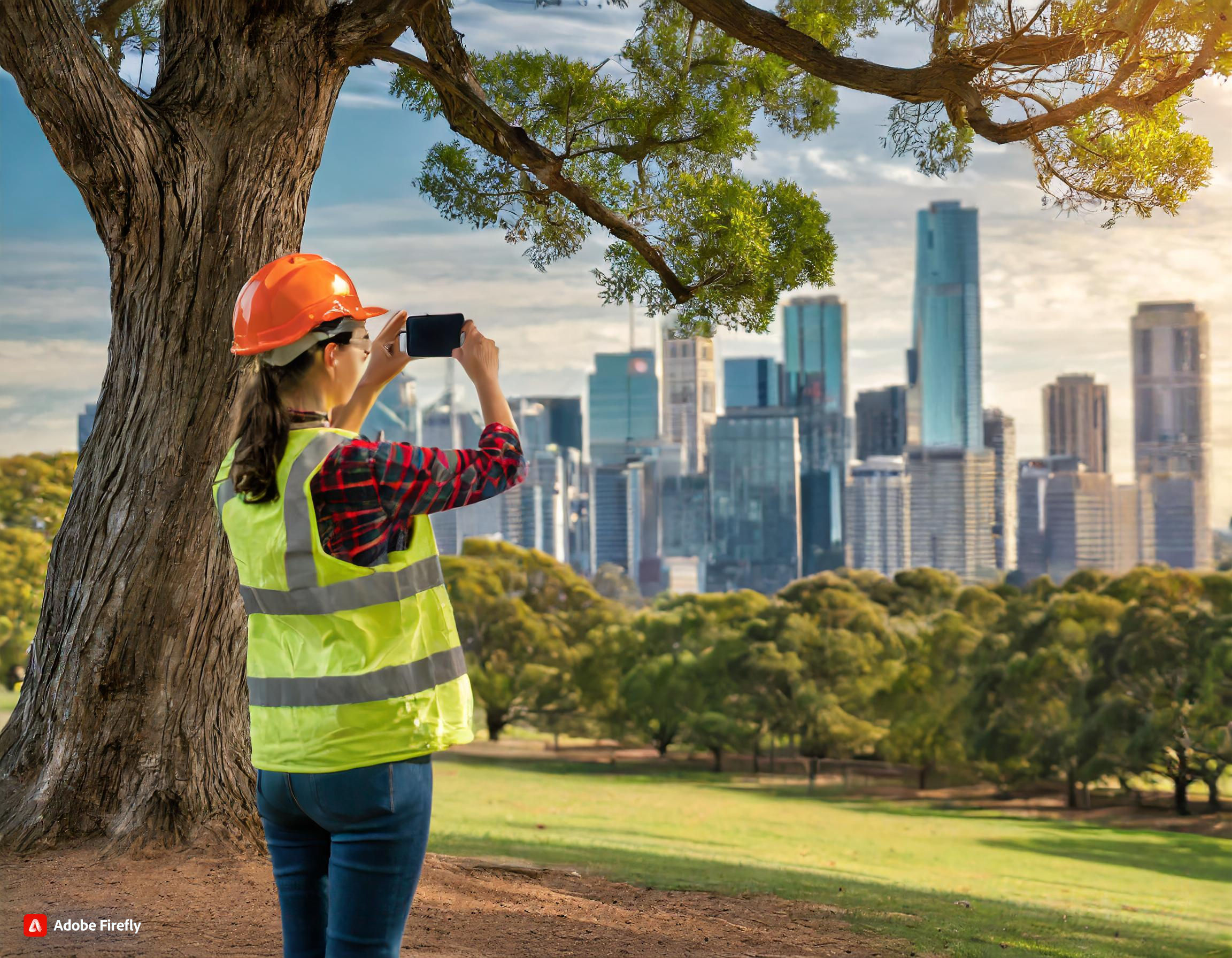
With the aid of Gruntify mobile apps utilizing GPS technology, arborists can accurately display maps of trees while in the field. This enables them to make real-time edits to tree properties, ensuring that the database remains up-to-date. During field visits, these tree experts can visually inspect tree health and condition, conduct additional measurements, and seamlessly update the database. This combination of remote and on-site data collection provides a comprehensive and reliable assessment of our urban forests.

Getting the Job Done Faster through Field Workflows
Field workflows are instrumental in streamlining tree management operations. With the help of mobile apps and GIS technology, arborists and field workers can efficiently plan, execute, and monitor their work in the field.
Using these apps, workers can receive assigned tasks on their mobile devices, providing all the necessary information, such as the location of trees, maintenance requirements, and safety guidelines. They can then record their findings, update the database, and even generate reports directly from the field. This streamlined workflow allows for faster response times, improved collaboration among team members, and ultimately, a more efficient management of our urban forests.
Maximizing Benefits: The Value of Efficient Tree Assessment
Efficient tree assessment using GIS technology brings numerous benefits to our cities and communities. By accurately monitoring tree health and conducting regular inventory assessments, we can prioritize maintenance efforts, allocate resources effectively, and ensure the long-term health and survival of our urban forests.
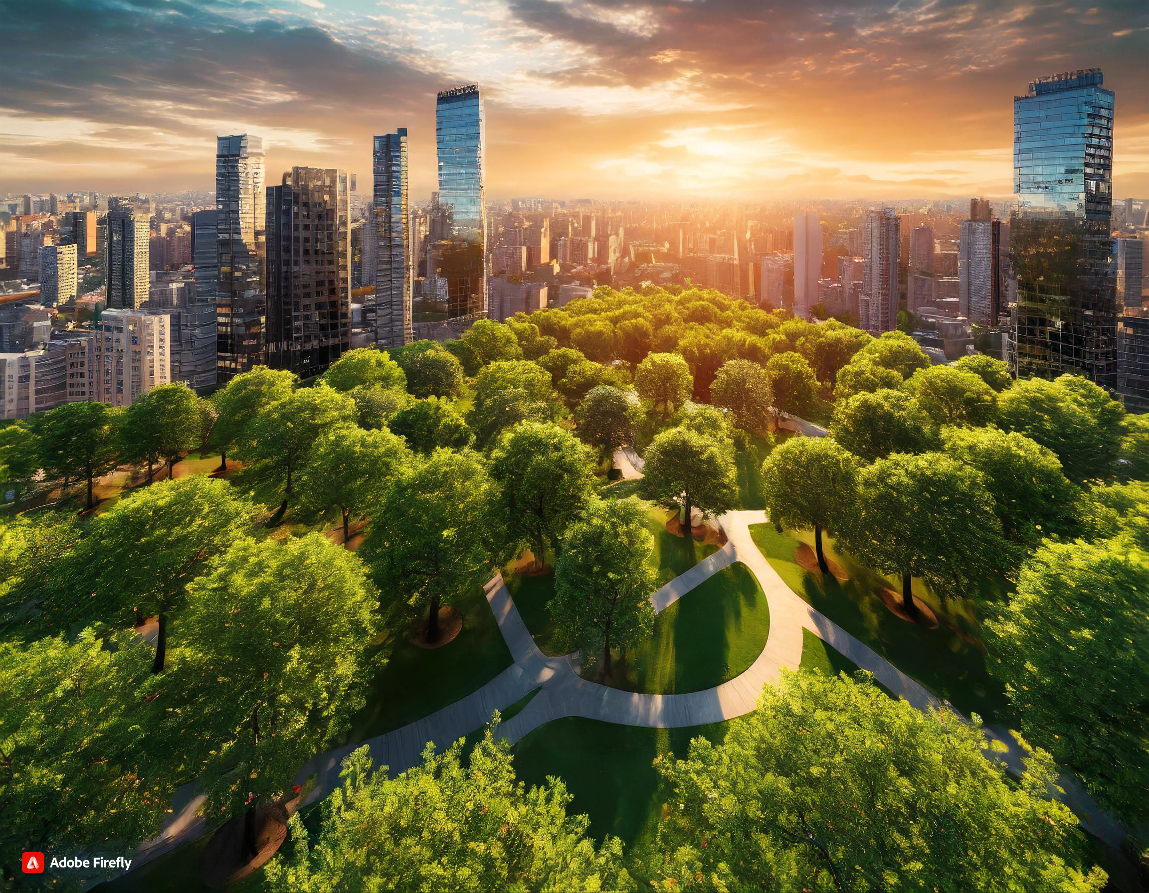
Furthermore, trees provide valuable ecosystem services that improve our quality of life. They reduce energy consumption by shading buildings during hot summer months, mitigate the effects of climate change by sequestering carbon dioxide, and improve air and water quality. With proper tree management, cities can maximize these benefits and create more sustainable and resilient environments for their residents.
Growing Greener Cities: Planting Trees Wisely
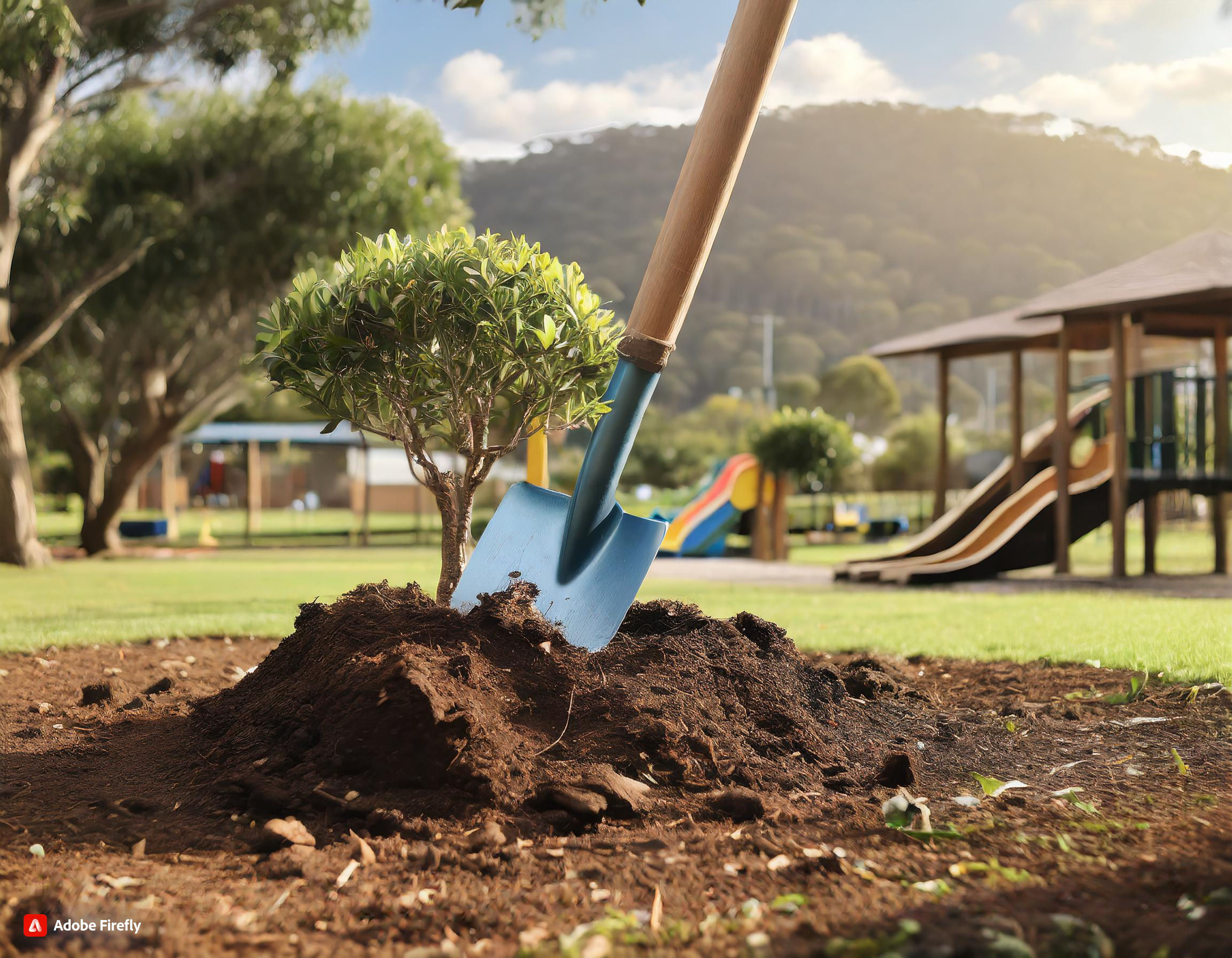
Planting trees wisely is a crucial part of efficient tree inventory and urban forest management. By analyzing the data collected through satellite imagery and on-the-ground assessments, we can identify areas with low tree cover and strategically plan tree planting projects.
- It is important to consider the specific needs of each location, such as soil conditions, available sunlight, and proximity to utilities. This ensures that trees have the best chance of survival and growth.
- Selecting appropriate tree species is also crucial. Different species have different growth rates, environmental tolerances, and benefits. By choosing suitable species, we can create diverse and resilient urban forests.
- Community involvement in tree planting is invaluable. Engaging residents, schools, and community organizations not only fosters a sense of ownership but also promotes environmental awareness and education.

Monitoring Canopy Cover Changes Using GIS and Satellites
Regular monitoring and evaluation of canopy cover changes are essential for effective tree management. GIS and satellite technology enable us to track the expansion or decline of tree canopies and take appropriate action.
By comparing current and historical satellite images, we can identify areas where canopy cover has been lost and implement measures to restore it. This may involve planting new trees, pruning existing ones, or implementing policies to protect existing green spaces.
GIS technology also allows us to analyze the spatial distribution of canopy cover changes, identifying areas that are disproportionately affected or at risk. This information guides decision-making processes and ensures that resources are directed where they are most needed.
In conclusion, efficient tree inventory, canopy, and health assessment with GIS technology is a game-changer in urban forest management. By harnessing the power of satellite imagery, mobile apps, and on-the-ground assessments, cities can monitor their trees more effectively, make informed decisions, and create more sustainable and resilient environments for generations to come.


