In a world that is becoming increasingly interconnected, the importance of location intelligence cannot be overstated. From navigation systems to logistics planning, mapping solutions play a pivotal role in countless industries. And as technology continues to advance at an unprecedented rate, the future of location intelligence holds incredible promise. In this article, we will explore some of the most exciting innovations that are shaping tomorrow’s mapping solutions.
Augmented Reality Mapping
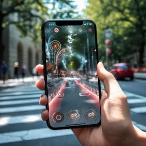
One of the most revolutionary advancements in mapping technology is augmented reality (AR) mapping. Imagine a world where you can view real-time navigational cues right in front of your eyes, seamlessly integrated into your surroundings. AR mapping promises to transform the way we interact with maps, making them more intuitive and engaging. Whether it’s finding your way through a busy city or exploring a remote hiking trail, AR mapping has the potential to make navigation a truly immersive experience.
But what exactly is augmented reality mapping? It is a technology that combines the real world with virtual information, creating a hybrid environment where digital content is overlaid onto our physical surroundings. This is made possible through the use of devices like smartphones, tablets, or smart glasses, which have built-in cameras and sensors that can detect the user’s location and orientation.
 Common Uses of AR
Companies are already experimenting with AR mapping in various ways. For example, imagine walking through a museum and having relevant information about each exhibit pop up on your smartphone. As if the objects themselves were providing the commentary. AR mapping can enhance our understanding of the world around us, providing valuable context and information wherever we go.
But the potential of AR mapping goes beyond just museums. Imagine exploring a new city with restaurant reviews hovering above each establishment, aiding dining choices. Picture hiking with AR mapping guiding you, highlighting points of interest and sharing historical facts.
AR mapping can also be a powerful tool for education. Students can use AR to visualize complex concepts in subjects like biology or physics, bringing abstract ideas to life and making learning more engaging. By overlaying digital information onto the real world, AR mapping has the ability to bridge the gap between theoretical knowledge and practical application.
As AR mapping continues to evolve, we can expect to see even more innovative applications. From interactive city tours to immersive gaming experiences, the possibilities are endless. With AR mapping, the world becomes a canvas for information and exploration, opening up new realms of possibilities for how we navigate and interact with our surroundings.
Artificial Intelligence-Driven Mapping Algorithms
Artificial intelligence (AI) is revolutionizing countless industries, and mapping is no exception. AI-driven mapping algorithms can process vast amounts of data and generate highly accurate maps in real-time. By analyzing satellite imagery, sensor data, and user-generated content, AI can create detailed and up-to-date maps that go beyond what traditional cartography can offer.
These AI algorithms can not only identify and map physical objects but also make predictions and recommendations based on patterns and trends. For example, they can analyze historical traffic data to predict future congestion or suggest alternative routes to optimize travel time. As AI continues to evolve, so too will the accuracy and effectiveness of mapping algorithms, pushing the boundaries of what is possible.
Sample Applications of AI-Driven Mapping Algorithms
One fascinating aspect of AI-driven mapping algorithms is their ability to adapt and learn from new data. As more information becomes available, these algorithms can update and refine their maps, ensuring that users have the most accurate and up-to-date information at their fingertips. This adaptability is particularly valuable in rapidly changing environments, such as urban areas undergoing construction or natural landscapes affected by seasonal variations.
Moreover, AI-driven mapping algorithms have the potential to revolutionize disaster response and recovery efforts. In the aftermath of a natural disaster, such as an earthquake or hurricane, these algorithms can quickly analyze satellite imagery and sensor data to identify damaged infrastructure, assess the extent of the destruction, and prioritize areas in need of immediate assistance. This real-time information can help emergency responders allocate resources effectively and save lives.
Furthermore, AI-driven mapping algorithms can have significant implications for urban planning and development. By analyzing population density, traffic patterns, and environmental factors, these algorithms can assist city planners in making informed decisions about infrastructure development, public transportation routes, and green spaces. This data-driven approach can lead to more efficient and sustainable cities that cater to the needs of their residents.
In conclusion, AI-driven mapping algorithms are transforming the way we navigate and understand the world around us. These algorithms process data, predict outcomes, and adapt, pushing mapping boundaries. AI revolutionizes travel, disaster response, and urban planning, unlocking innovation and efficiency possibilities in mapping and cartography.
Integration of IoT Sensors for Mapping Applications
The Internet of Things (IoT) has seen rapid growth in recent years, with billions of devices connected to the internet. This connectivity presents exciting opportunities for location intelligence. By integrating IoT sensors into mapping applications, we can gather real-time data on various factors that affect our surroundings.
For example, by leveraging sensors embedded in vehicles, we can create live maps that provide instant updates on traffic conditions, road hazards, and parking availability. Similarly, by integrating weather sensors into maps, we can provide accurate and localized weather information, enabling better decision-making for outdoor activities or logistics planning. The integration of IoT sensors into mapping applications opens up a wealth of possibilities for improving our understanding of the world and optimizing our interactions with it.
Using LiDAR for High-Resolution Terrain Mapping
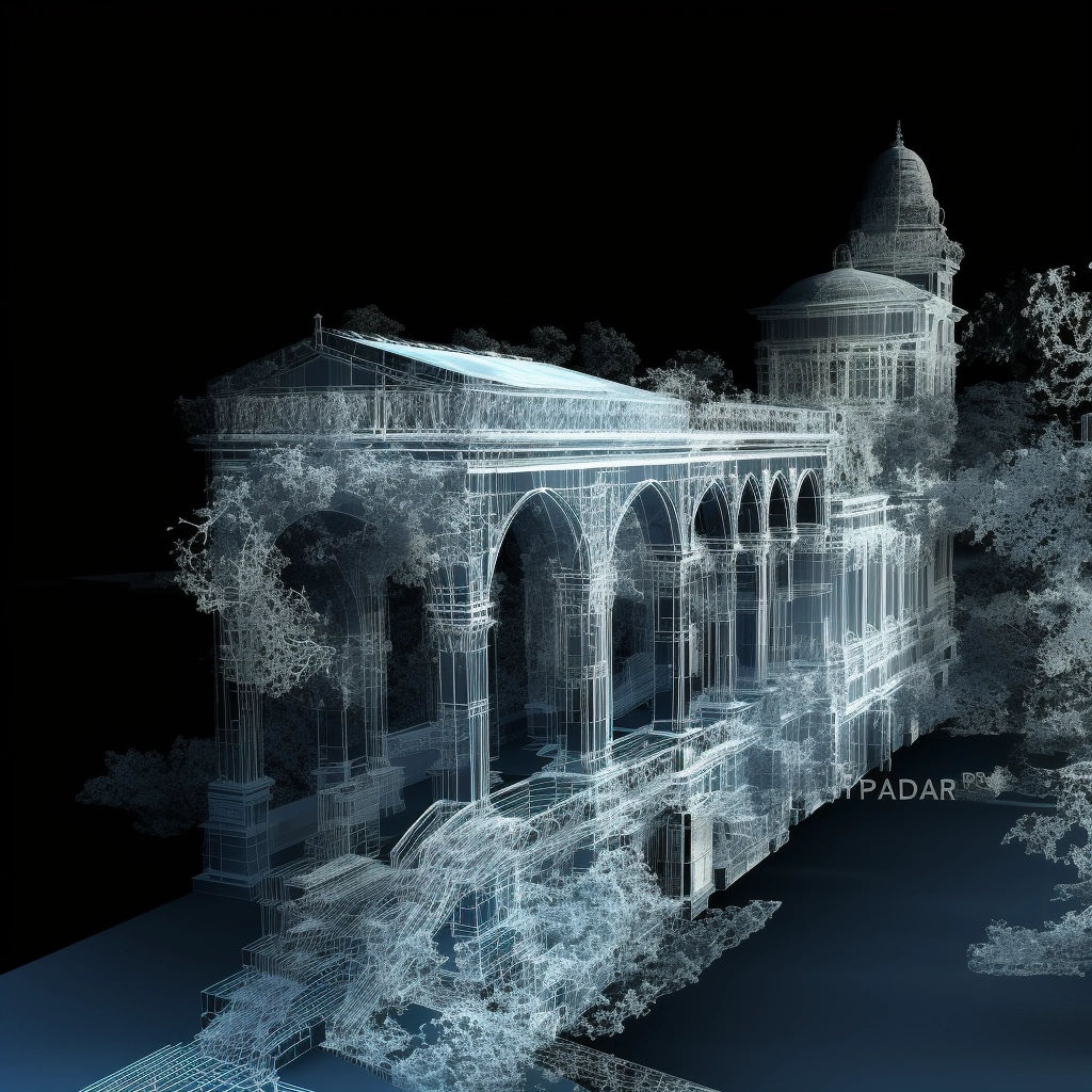
LiDAR (Light Detection and Ranging) technology has gained significant traction in recent years and is transforming the way we map and understand our environment. Traditional mapping methods rely on satellite imagery and photographs, which can be limited in their ability to accurately represent three-dimensional space.

LiDAR, on the other hand, uses laser pulses to measure the distance between the sensor and the surrounding objects. By creating a dense cloud of data points, LiDAR enables highly accurate and detailed terrain mapping. This technology has wide-ranging applications, from urban planning and environmental monitoring to autonomous vehicle navigation.
Satellite-Guided Robots and AI Driving Mining Operations
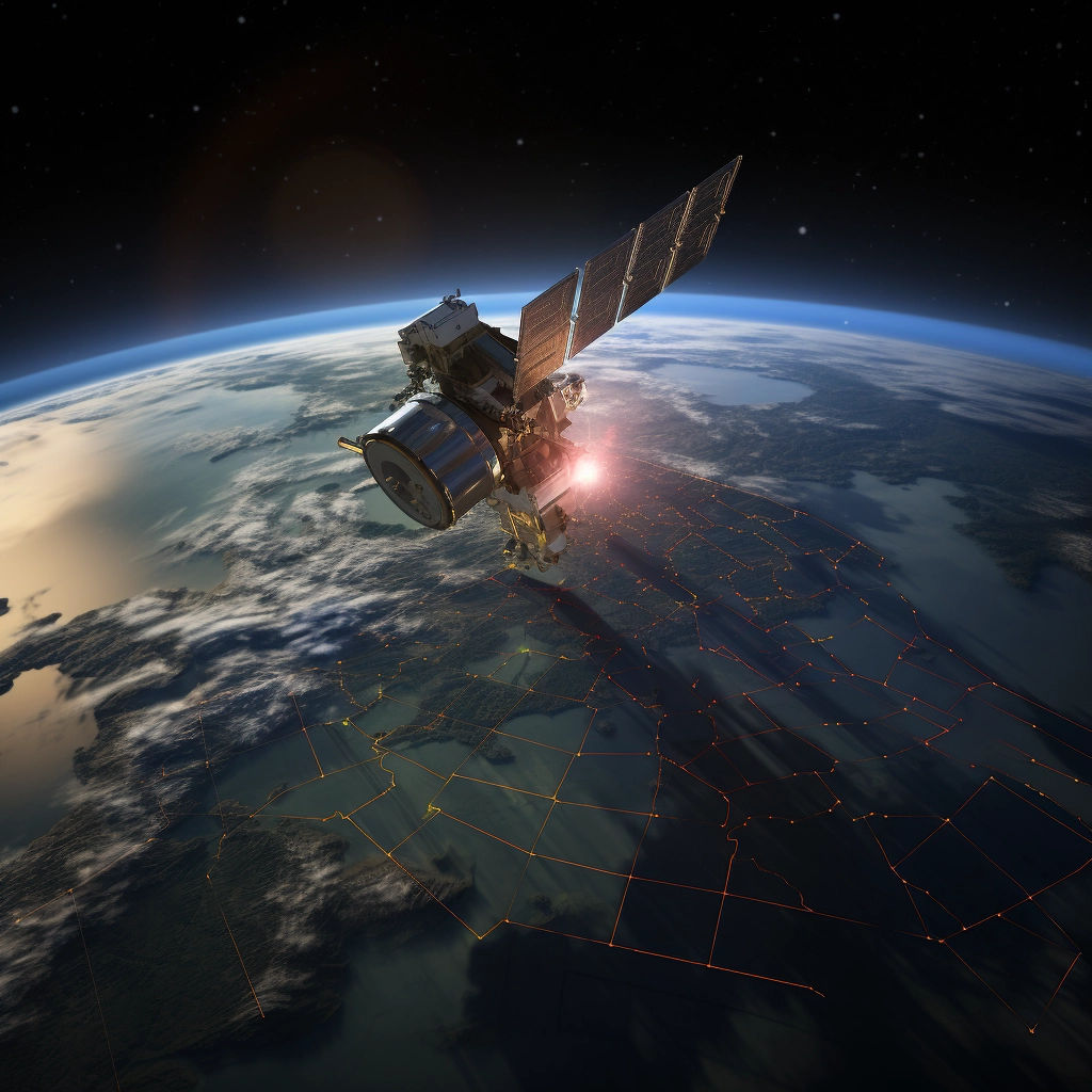
Mining operations are notoriously challenging, with complex terrain and ever-changing conditions. However, advancements in satellite-guided robots and AI are transforming the mining industry. By combining satellite data with AI algorithms, mining operations can be optimized for efficiency and safety.

These satellite-guided robots can navigate difficult terrain, collect valuable data, and make informed decisions based on real-time information. With AI algorithms, mining operations can analyze vast amounts of data to optimize processes, reduce waste, and improve worker safety. The integration of satellite-guided robots and AI is revolutionizing mining, making it more sustainable, cost-effective, and safer than ever before.
Conclusion
The future of location intelligence holds great promise, with technological advancements shaping tomorrow’s mapping solutions. From augmented reality mapping to artificial intelligence-driven algorithms, from IoT sensors to LiDAR technology, and from satellite-guided robots to AI-driven mining operations, the possibilities are truly inspiring.
As these innovations continue to evolve, our understanding of the world around us will deepen, leading to more informed decision-making and improved efficiency across various industries. The future of location intelligence is bright, and the impact it will have on our lives cannot be underestimated.


