Did you ever look down at a city from an airplane window and marvel at the vast expanse of green amidst the concrete jungle? Urban vegetation have the power to uplift our spirits, providing oases of tranquility and promoting physical and mental well-being. But have you ever wondered how we can truly understand the benefits of these green spaces? How can we measure their impact on our environment and our health? The answer lies above us, in the realm of satellite technology.
Investigating the Benefits of Urban Green Spaces from Above
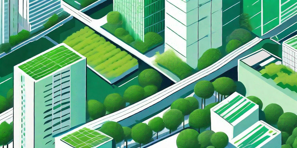
Imagine standing at the heart of a sprawling city, surrounded by lush parks, botanical gardens, and urban forests. The greenery envelops you, providing a sanctuary away from the hectic city life. But what if we could explore these urban oases from a different perspective? Satellite technology allows us to view these spaces from above, revealing the intricate patterns and compositions of urban vegetation. By analyzing these satellite images, researchers and urban planners can gain invaluable insights into the benefits of green spaces.

For instance, studies have shown that urban green spaces act as natural air purifiers, mitigating the harmful effects of air pollution. By absorbing carbon dioxide and releasing oxygen, vegetation plays a crucial role in improving air quality in our cities. Satellite imagery enables us to quantify the impact of urban vegetation on air pollution, providing valuable data for policymakers to make informed decisions regarding city planning and green infrastructure.
Other Benefits of Urban Green Spaces
But the benefits of urban green spaces extend far beyond air quality. These green areas also have a positive impact on mental health and well-being. When we immerse ourselves in nature, whether it’s a stroll through a park or a visit to a botanical garden, our stress levels decrease, and our mood improves. The calming effect of green spaces has been scientifically proven, with studies showing that spending time in nature can reduce anxiety and depression.
Furthermore, urban green spaces provide a habitat for various wildlife species, contributing to biodiversity in the city. Birds, insects, and small mammals find refuge in these green pockets, creating a balanced ecosystem within the urban landscape. Satellite imagery allows us to observe the diversity of species that thrive in urban green spaces, helping us understand the importance of preserving and expanding these areas for the benefit of both humans and wildlife.
In addition to their environmental and psychological benefits, urban green spaces also play a crucial role in promoting physical activity and social interaction. Parks and recreational areas provide opportunities for people to engage in outdoor activities such as jogging, cycling, or playing sports. These spaces serve as meeting points for communities, fostering social connections and a sense of belonging.
By utilizing satellite technology to explore urban green spaces from above, we can uncover a wealth of information about their ecological, psychological, and social significance. The detailed imagery allows us to identify patterns, trends, and potential areas for improvement in urban planning. With this knowledge, policymakers and city planners can make informed decisions to create greener, healthier, and more sustainable cities for future generations.
Unlocking the Benefits of Green Spaces with Satellite Technology
Satellite technology not only allows us to unlock the benefits of green spaces but also assists in monitoring and managing their health. By regularly capturing high-resolution images, satellites provide us with a snapshot of urban vegetation dynamics. This data helps us identify areas that require intervention, such as reforestation or irrigation, ensuring the longevity and vitality of our urban green spaces.
Moreover, satellite imagery allows us to assess the urban heat island effect, whereby cities experience higher temperatures due to the absence of green spaces. By quantifying the cooling effect of urban vegetation, we can strategically plan the distribution of green areas to mitigate the adverse impacts of heat and create more comfortable, livable cities for all.
Using Satellite Imagery to Monitor Urban Plant Health
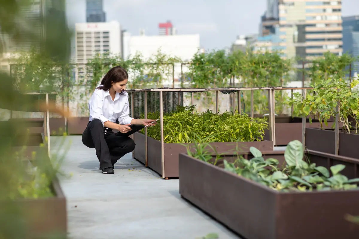
In addition to understanding the overall benefits of urban green spaces, satellite imagery provides us with a way to monitor the health of individual plants. By closely examining the spectral reflectance of vegetation, scientists can detect stress signals and determine the causes behind plant decline or mortality.
This invaluable information assists horticulturists and gardeners in making informed decisions about tree maintenance, irrigation, and pest control. It also aids in identifying areas prone to diseases or invasive species, allowing for prompt action to preserve the health and longevity of urban plants.
Quantifying the Impact of Urban Vegetation on Air Quality
 Air pollution is a growing concern in urban environments, leading to adverse health effects for city dwellers. However, urban vegetation can act as a natural buffer, filtering pollutants and improving the air we breathe. Satellite technology plays a vital role in quantifying the impact of urban vegetation on air quality.
Through the analysis of satellite imagery, researchers can measure the extent of vegetation cover in different areas and evaluate its effectiveness in reducing air pollution. This data is instrumental in shaping air quality policies and encouraging the preservation and expansion of green spaces to enhance the well-being of urban communities.
Analyzing Urban Green Spaces through Satellite Technology
Every city has a unique blend of green spaces, each with its own story and ecological makeup. Satellite technology enables us to analyze and compare these urban green spaces, providing important insights for sustainable urban planning.
By mapping the distribution of green areas and their connectivity, satellites help us identify potential gaps in green infrastructure. This information supports urban planners in the design of cities that prioritize access to nature, creating harmonious environments that promote physical and mental well-being for all residents.
The Potential of Satellite Technology to Improve Urban Green Spaces
Satellite technology has immense potential to revolutionize urban green spaces. By providing comprehensive data, we can maximize the benefits of green areas, making cities more livable and sustainable for generations to come.
With the help of satellite imagery, urban planners can identify areas of underutilized land that can be transformed into new green spaces, enriching our cities with additional pockets of nature. This technology also aids in monitoring and preserving existing green spaces, ensuring their health and longevity.
Together, let us embrace the power of satellite technology to gain new perspectives on urban green spaces. By harnessing these tools, we can unlock the full potential of nature and create cities where greenery flourishes, air is clean, and well-being blossoms. The possibilities are endless, and the path ahead is illuminated by the green from above.