
Geographic Information Systems (GIS) have long been a cornerstone of spatial analysis, providing tools to visualize and interpret data related to the Earth’s surface. However, the advent of artificial intelligence (AI) and machine learning is ushering in a new era for GIS, transforming how data is processed, analyzed, and utilized across various sectors. This article explores the evolution of GIS, the impact of AI-powered applications, and the future landscape of intelligent mapping.
The Evolution of Geographic Information Systems
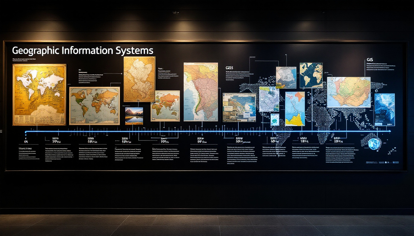
From Paper Maps to Digital Platforms
Initially, geographic information systems relied heavily on paper maps, which were labor-intensive to create and challenging to update. As technology advanced, the shift to digital platforms began to take shape. The introduction of computer-assisted design (CAD) and geographic information software allowed for more dynamic and interactive mapping. This transition not only improved accuracy but also enabled the integration of diverse datasets. The early days of GIS were marked by the painstaking process of digitizing paper maps, often requiring extensive fieldwork to ensure data accuracy. The painstaking efforts of cartographers and geographers laid the groundwork for the sophisticated systems we have today.
Today, GIS encompasses a wide range of technologies, including remote sensing, GPS, and cloud computing. The ability to layer multiple data sources has revolutionized how geospatial information is analyzed and visualized. As a result, stakeholders across various industries can make more informed decisions based on comprehensive spatial data. For instance, urban planners can utilize GIS to visualize population density and infrastructure needs, while environmental scientists can track changes in land use and biodiversity. The integration of real-time data feeds further enhances the functionality of GIS, allowing for immediate updates and more responsive planning and management strategies.
The Data Revolution in Spatial Analysis
The data revolution has significantly impacted GIS, with an explosion of available data from various sources such as social media, IoT devices, and satellite imagery. This vast amount of data presents both opportunities and challenges. Organizations can harness this information to gain insights into patterns and trends, but they must also navigate the complexities of managing and analyzing such large datasets. The democratization of data access has empowered smaller organizations and communities to leverage GIS technologies, enabling them to visualize their own data and advocate for their needs more effectively. This shift has led to a more participatory approach in urban planning and resource management, where local voices can influence decision-making processes.
Machine learning algorithms have emerged as powerful tools in this context, enabling the processing of vast amounts of geospatial data quickly and efficiently. By identifying patterns and correlations within the data, these algorithms can assist in making predictions and recommendations, enhancing the overall effectiveness of GIS applications. For example, predictive modeling can help in disaster management by analyzing historical data to forecast the impact of natural disasters, allowing for better preparedness and resource allocation. Moreover, the fusion of GIS with artificial intelligence is opening new frontiers, such as automating routine analyses and providing deeper insights into spatial relationships that were previously difficult to discern. As these technologies continue to evolve, the potential applications of GIS will only expand, offering new ways to understand and interact with our world.
AI-Powered GIS Applications Reshaping Industries
Predictive Modeling for Urban Planning and Development
Urban planners are increasingly leveraging AI-powered GIS applications to forecast future growth and development patterns. Predictive modeling allows planners to simulate various scenarios, assessing the potential impacts of different decisions on urban landscapes. For instance, AI can analyze historical data on population growth, land use changes, and infrastructure development to predict where new housing or commercial spaces might be needed.
Moreover, these tools can optimize resource allocation, ensuring that public services such as transportation, healthcare, and education are strategically placed to meet the needs of growing populations. By integrating AI into urban planning, cities can become more resilient, sustainable, and responsive to the needs of their residents.
Environmental Monitoring and Climate Change Response
As the world grapples with the effects of climate change, GIS plays a crucial role in environmental monitoring and management. AI-enhanced GIS applications are being used to track changes in land use, deforestation rates, and biodiversity loss. These insights are vital for developing effective conservation strategies and mitigating the impacts of climate change.
For example, machine learning algorithms can analyze satellite imagery to detect changes in vegetation cover or water bodies over time. This information can inform policy decisions and conservation efforts, helping to protect vulnerable ecosystems. Additionally, AI can assist in predicting natural disasters, allowing for better preparedness and response strategies.
The Future Landscape of Intelligent Mapping
Real-time Analysis and Decision Support Systems
The future of GIS is increasingly focused on real-time data analysis and decision support systems. With the rise of smart cities and the Internet of Things (IoT), the ability to process and analyze data in real-time is becoming essential. AI-powered GIS applications can provide immediate insights into urban dynamics, traffic patterns, and environmental changes, enabling timely and informed decision-making.

For instance, real-time traffic data can be integrated into GIS platforms to optimize transportation routes, reducing congestion and improving air quality. Similarly, real-time environmental data can assist in monitoring pollution levels and other hazards, ensuring that communities are informed and can take appropriate action.
Ethical Considerations and Accessibility Challenges
As GIS technology becomes more advanced, ethical considerations and accessibility challenges must be addressed. The use of AI in GIS raises questions about data privacy, surveillance, and the potential for bias in algorithms. It is crucial for organizations to establish ethical guidelines and practices to ensure that AI applications are used responsibly and transparently.
Moreover, while technology continues to advance, disparities in access to GIS tools and data remain a significant challenge. Ensuring that all communities, particularly marginalized and underserved populations, have access to GIS technology is essential for promoting equity and inclusion in decision-making processes.
In conclusion, the integration of AI and machine learning into GIS is transforming the way spatial data is utilized across various sectors. From urban planning to environmental monitoring, these technologies are enhancing decision-making and fostering innovative solutions to complex challenges. As the landscape of intelligent mapping continues to evolve, it is vital to navigate the ethical implications and accessibility issues to ensure that the benefits of this technology are shared equitably. The future of GIS is bright, promising a world where data-driven insights lead to more sustainable and resilient communities.